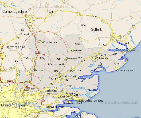
Essex Map Showing Location of Chickney
Population: 38
District: Uttlesford
Easting: 558163 Northing: 226789
Latitude: 51.92 Longitude: 0.3
 = Chickney
District: Uttlesford
Easting: 558163 Northing: 226789
Latitude: 51.92 Longitude: 0.3
= Chickney
This Chickney map below is supplied by Google. Use the tools in the top left corner to zoom into street level or zoom out for a road map, you may also need to zoom in to see Chickney on the map. Click and drag the map to move around. If the map fails to load try and refresh your browser or zoom in or out (+ or -).
Update - it seems Google no longer allow people to use their maps for free! This Chickney map sometimes loads and sometimes gives a error. I am working on a solution.
Closest 30 Towns or Cities to Chickney (Population over 500)
Great Easton 2.95km Henham 3.89km Elsenham 4.57km Thaxted 5.88km Dunmow 5.89km Great Dunmow 5.89km Debden 6.01km Takeley 6.02km Stansted 7.11km Stansted Mountfitchet 7.11km Stansted Apt 7.11km Quendon 7.79km Newport 8.16km Birchanger 8.82km Stebbing 8.82km Manuden 9.14km Wimbeis 9.33km Wymbyshe 9.33km Gwimbach 9.33km Wimbish 9.33km Wenbech 9.33km Winbeche 9.33km Winebisc 9.33km Radwinter 9.54km Hatfield Broad Oak 9.89km Great Sampford 10.09km Barnston 10.11km Felsted 10.11km Saffron Walden 11.63km Finchingfield 11.69km