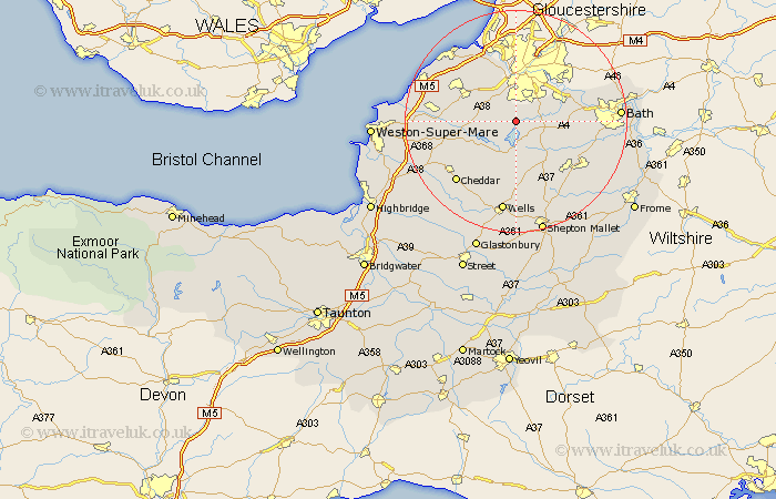
Somerset Map Showing Location of Great Chew
Population: 1161
Easting: 357074 Northing: 163306
Latitude: 51.37 Longitude: -2.62
 = Great Chew
Easting: 357074 Northing: 163306
Latitude: 51.37 Longitude: -2.62
= Great Chew
This Great Chew map below is supplied by Google. Use the tools in the top left corner to zoom into street level or zoom out for a road map, you may also need to zoom in to see Great Chew on the map. Click and drag the map to move around. If the map fails to load try and refresh your browser or zoom in or out (+ or -).
Update - it seems Google no longer allow people to use their maps for free! This Great Chew map sometimes loads and sometimes gives a error. I am working on a solution.
Closest 30 Towns or Cities to Great Chew (Population over 500)
Chew Stoke 2.19km Winford 2.96km Dundry 3.88km Whitchurch 5.07km Publow 5.79km Temple Cloud 6.77km Clutton 6.88km Compton Dando 7.18km East Harptree 7.51km Long Ashton 7.76km Compton Martin 7.77km Blagdon 7.88km Bourton 8.02km Flax Bourton 8.02km Keynsham 8.9km Farmboro 8.91km Farmborough 8.91km Wrington 10.41km Timsbury 10.8km Farrington Gurney 10.93km Paulton 10.99km Chewton Mendip 11.36km Saltford 12.15km Wraxall 12.3km Congresbury 12.73km Nailsea 12.77km Camerton 12.84km Portbury 13.1km Churchill 13.26km Stratton on the Fosse 13.76km