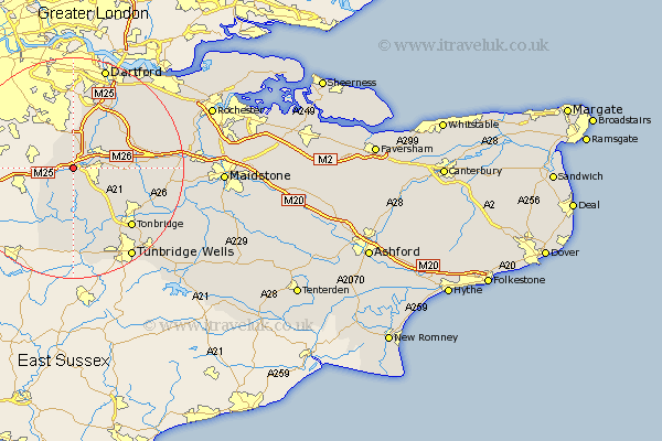
Kent Map Showing Location of Chevening
Population: 2762
District: Sevenoaks
Easting: 548759 Northing: 156013
Latitude: 51.28 Longitude: 0.13
 = Chevening
District: Sevenoaks
Easting: 548759 Northing: 156013
Latitude: 51.28 Longitude: 0.13
= Chevening
This Chevening map below is supplied by Google. Use the tools in the top left corner to zoom into street level or zoom out for a road map, you may also need to zoom in to see Chevening on the map. Click and drag the map to move around. If the map fails to load try and refresh your browser or zoom in or out (+ or -).
Update - it seems Google no longer allow people to use their maps for free! This Chevening map sometimes loads and sometimes gives a error. I am working on a solution.
Closest 30 Towns or Cities to Chevening (Population over 500)
Chevening 0km Brasted 2.96km Knockholt 2.97km Fort Halstead 3.71km Halstead 3.71km Halsted 3.71km Westerham 3.94km Otford 3.94km Sevenoaks 4.99km Shoreham 5.08km Ide Hill 5.56km Seal 5.8km Kemsing 7.2km Weald 8.18km Eynsford 9.41km West Kingsdown 9.83km Farningham 10.93km Hextable 11.21km Swanley 11.36km Hildenborough 11.59km Borough Green 11.59km Edenbridge 12.05km Plaxtol 12.17km Leigh 12.54km Wrotham 12.88km Chiddingstone 12.97km Hever 13.17km Penshurst 13.42km Ash 13.76km Ridley 13.9km