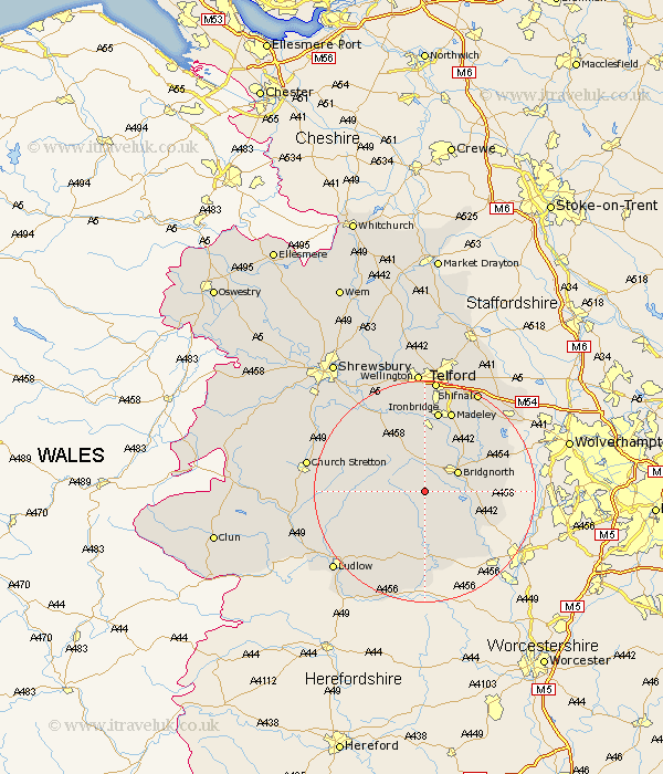
Shropshire Map Showing Location of Chetton
Population: 304
District: Bridgnorth
Easting: 366061 Northing: 289280
Latitude: 52.5 Longitude: -2.5
 = Chetton
District: Bridgnorth
Easting: 366061 Northing: 289280
Latitude: 52.5 Longitude: -2.5
= Chetton
This Chetton map below is supplied by Google. Use the tools in the top left corner to zoom into street level or zoom out for a road map, you may also need to zoom in to see Chetton on the map. Click and drag the map to move around. If the map fails to load try and refresh your browser or zoom in or out (+ or -).
Update - it seems Google no longer allow people to use their maps for free! This Chetton map sometimes loads and sometimes gives a error. I am working on a solution.
Closest 30 Towns or Cities to Chetton (Population over 500)
Ditton Priors 4.51km Bridgnorth 6.75km Highley 9.66km Worfield 10.6km Kinlet 10.85km Barrow 11.35km Barrow Bridge 11.35km Alveley 11.58km Much Wenlock 11.62km Broseley 13.03km Cleobury Mortimer 13.03km Claverley 14.03km Rushbury 14.78km Ironbridge 14.99km Bitterley 15.07km Diddlebury 15.13km Madeley 15.49km Cressage 16.79km Dawley 18.67km Caynham 20.15km Shifnal 20.61km Telford 20.8km Church Stretton 21.04km Berrington 21.47km Albrighton 21.64km Ludlow 21.68km Wellington 22.27km Ketley 22.27km Hadley 22.27km Oakengates 22.69km