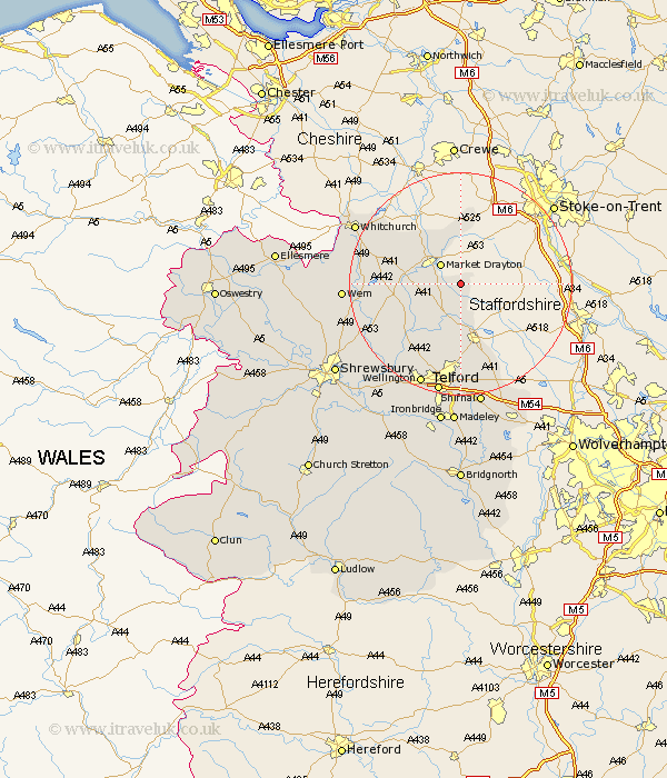
Shropshire Map Showing Location of Cheswardine
Population: 991
District: North Shropshire
Easting: 371953 Northing: 330030
Latitude: 52.87 Longitude: -2.42
 = Cheswardine
District: North Shropshire
Easting: 371953 Northing: 330030
Latitude: 52.87 Longitude: -2.42
= Cheswardine
This Cheswardine map below is supplied by Google. Use the tools in the top left corner to zoom into street level or zoom out for a road map, you may also need to zoom in to see Cheswardine on the map. Click and drag the map to move around. If the map fails to load try and refresh your browser or zoom in or out (+ or -).
Update - it seems Google no longer allow people to use their maps for free! This Cheswardine map sometimes loads and sometimes gives a error. I am working on a solution.
Closest 30 Towns or Cities to Cheswardine (Population over 500)
Hinstock 4.34km Market Drayton 5km Broughton 5.81km Stoke upon Tern 8.05km Stoke 8.05km Chetwynd 9.34km Norton in Hales 9.53km Newport 9.54km Edgmond 11.12km Hodnet 11.34km Cherrington 12.45km Woore 13.01km Lilleshall 14.88km Woodcote 15.86km Stanton 16.63km Stanton upon Hine Heath 16.63km Downington 16.72km Donnington 16.72km Precs 16.88km Prees 16.88km Trench 17.01km Ercall Magna 17.9km High Ercall 17.9km Shawbury 18.21km Oakengates 18.57km Hadley 19.07km Ketley 19.07km Wellington 19.72km Rodington 20.02km Wem 20.23km