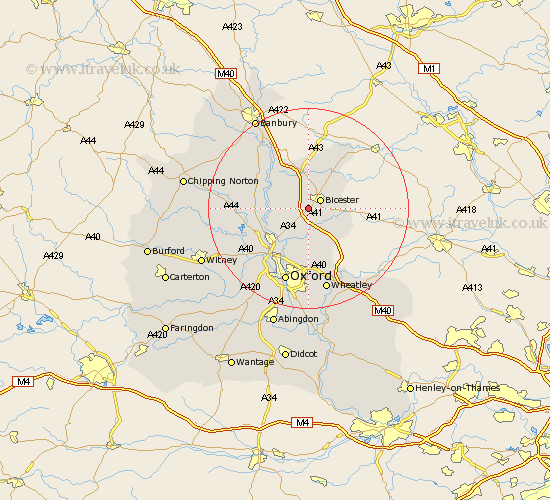
Oxfordshire Map Showing Location of Chesterton
Population: 835
District: Cherwell
Easting: 456204 Northing: 220890
Latitude: 51.88 Longitude: -1.18
 = Chesterton
District: Cherwell
Easting: 456204 Northing: 220890
Latitude: 51.88 Longitude: -1.18
= Chesterton
This Chesterton map below is supplied by Google. Use the tools in the top left corner to zoom into street level or zoom out for a road map, you may also need to zoom in to see Chesterton on the map. Click and drag the map to move around. If the map fails to load try and refresh your browser or zoom in or out (+ or -).
Update - it seems Google no longer allow people to use their maps for free! This Chesterton map sometimes loads and sometimes gives a error. I am working on a solution.
Closest 30 Towns or Cities to Chesterton (Population over 500)
Bicester 2.95km Launton 4.58km Caversfield 5.68km Ambrosden 5.89km Ardley 6.01km Kirtlington 6.01km Bletchingdon 6.82km Upper Heyford 7.98km Islip 8.16km Fritwell 8.17km Fringford 8.71km Steeple Aston 8.82km Tackley 9.34km Woodstock 9.88km Kidlington 10.1km Beckley 11.12km Duns Tew 11.7km Yarnton 12.25km Bladon 13.63km Deddington 14.39km Oxford 15.51km Adderbury 15.87km Cassington 15.96km Hanborough 16.57km Church Handborough 16.57km Barford St. John 16.78km Barford St John 16.78km Barford Saint John 16.78km Barford 16.78km Wheatley 17.03km