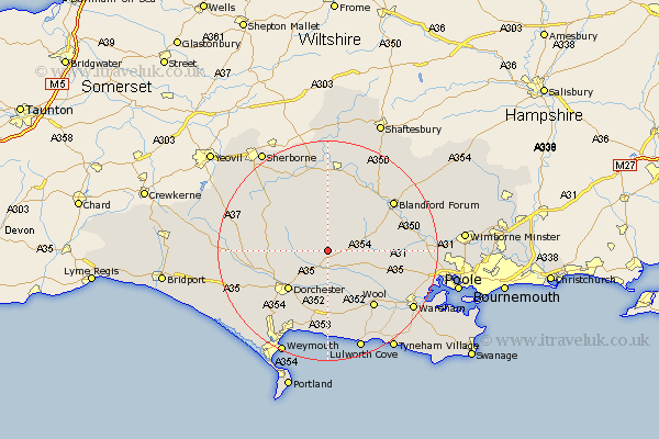
Dorset Map Showing Location of Cheselbourne
Population: 301
District: West Dorset
Easting: 376503 Northing: 98307
Latitude: 50.78 Longitude: -2.33
 = Cheselbourne
District: West Dorset
Easting: 376503 Northing: 98307
Latitude: 50.78 Longitude: -2.33
= Cheselbourne
This Cheselbourne map below is supplied by Google. Use the tools in the top left corner to zoom into street level or zoom out for a road map, you may also need to zoom in to see Cheselbourne on the map. Click and drag the map to move around. If the map fails to load try and refresh your browser or zoom in or out (+ or -).
Update - it seems Google no longer allow people to use their maps for free! This Cheselbourne map sometimes loads and sometimes gives a error. I am working on a solution.
Closest 30 Towns or Cities to Cheselbourne (Population over 500)
Piddletown 3.88km Puddletown 3.88km Milborne St. Andrew 3.97km Milborne 3.97km Milborne Saint Andrew 3.97km Milborne St Andrew 3.97km Milton Abbas 3.98km Piddletrenthide 5.86km Puddletrenthide 5.86km Whitechurch 7.27km Stickland Winterborne 8.96km Winterborne Stickland 8.96km Bere Regis 9km Cerne Abbas 9.55km Winterborne Kingston 9.56km Buckland Newton 9.91km Charminster 9.91km Dorchester 10.21km Bovington Camp 10.96km Broadmayne 11.66km Wool 13.52km Shillingstone 14.23km Stourpaine 14.54km Blandford 14.94km Blandford Forum 14.94km Sturminster Newton 15.24km Upton 15.35km Winfrith 15.55km Winfrith Newburgh 15.55km Spetisbury 15.67km