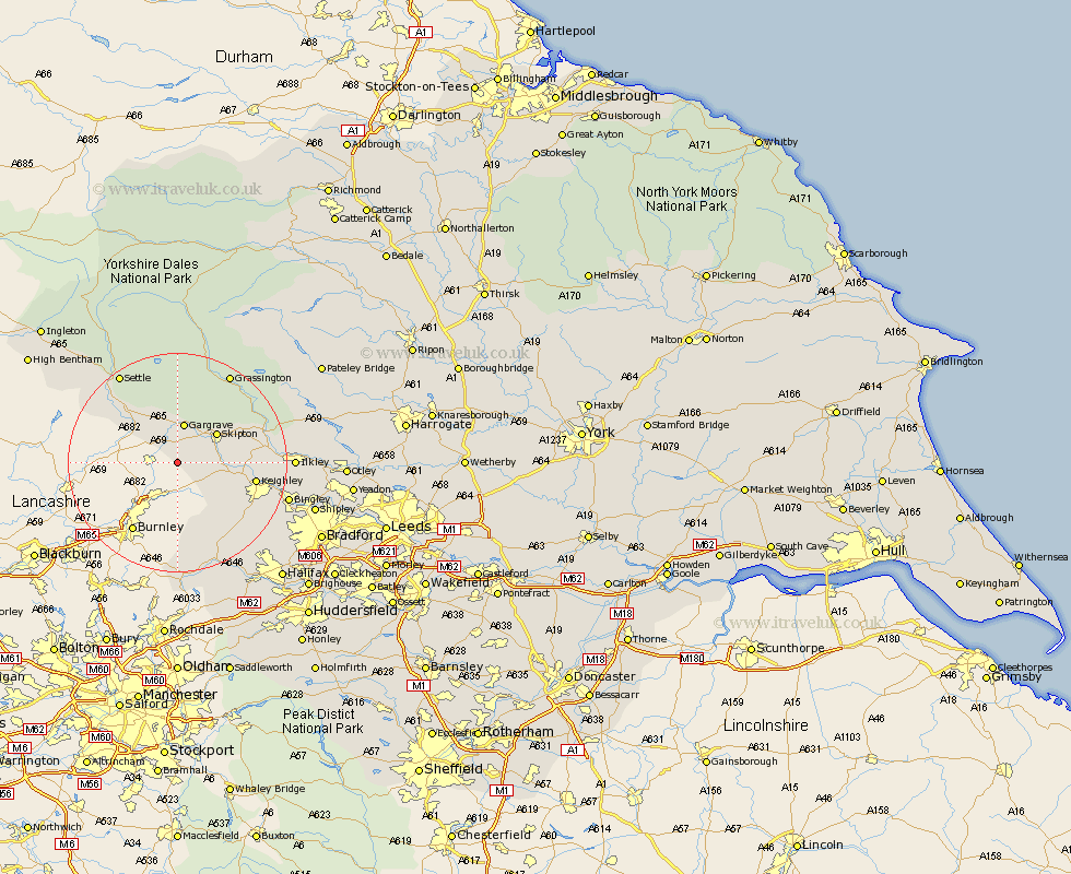
Yorkshire Map Showing Location of Earby
Population: 4875
Area Size (ha): 100
District: Craven
Easting: 392337 Northing: 446756
Latitude: 53.92 Longitude: -2.12
 = Earby
Area Size (ha): 100
District: Craven
Easting: 392337 Northing: 446756
Latitude: 53.92 Longitude: -2.12
= Earby
This Earby map below is supplied by Google. Use the tools in the top left corner to zoom into street level or zoom out for a road map, you may also need to zoom in to see Earby on the map. Click and drag the map to move around. If the map fails to load try and refresh your browser or zoom in or out (+ or -).
Update - it seems Google no longer allow people to use their maps for free! This Earby map sometimes loads and sometimes gives a error. I am working on a solution.
Closest 30 Towns or Cities to Earby (Population over 500)
Earby 0km Carlton 4.74km Carleton 4.74km Cononley 6.55km Gargrave 7.49km Glusburn 7.87km Skipton 8.59km Sutton-in-Craven 9.49km Hellifield 9.88km Embsay 10.35km Steeton 11.53km Silsden 12.15km Long Preston 12.72km Keighley 13.62km Addingham 15.39km Haworth 15.59km Threshfield 16.2km Oxenhope 16.97km Giggleswick 17.77km Cullingworth 18.04km Grassington 18.82km Settle 19.35km Ilkley 19.65km Heptonstall 19.66km Hebden Bridge 19.66km Wilsden 19.81km Bingley 20km Cornholme 20.51km Denholme 20.54km Queensbury 21.22km