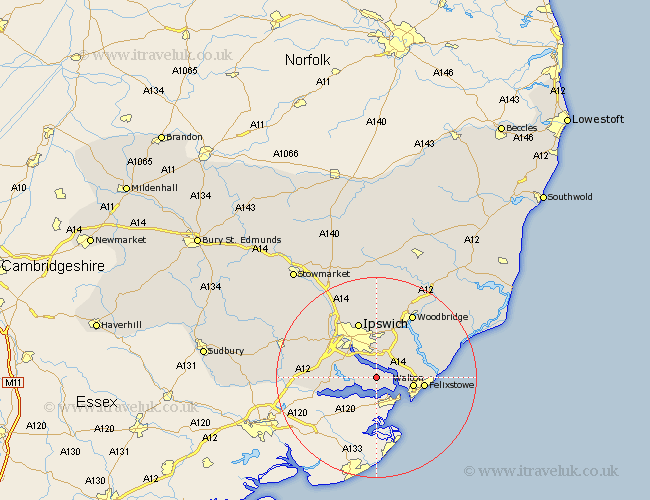
Suffolk Map Showing Location of Chelmondiston
Population: 1018
District: Babergh
Easting: 620859 Northing: 236583
Latitude: 51.98 Longitude: 1.22
 = Chelmondiston
District: Babergh
Easting: 620859 Northing: 236583
Latitude: 51.98 Longitude: 1.22
= Chelmondiston
This Chelmondiston map below is supplied by Google. Use the tools in the top left corner to zoom into street level or zoom out for a road map, you may also need to zoom in to see Chelmondiston on the map. Click and drag the map to move around. If the map fails to load try and refresh your browser or zoom in or out (+ or -).
Update - it seems Google no longer allow people to use their maps for free! This Chelmondiston map sometimes loads and sometimes gives a error. I am working on a solution.
Closest 30 Towns or Cities to Chelmondiston (Population over 500)
Shotley 2.94km Holbrook 3.43km Nacton 3.88km Stutton 4.93km Bucklesham 6.01km Kirton 7.09km Kirkton 7.09km Walton 7.31km Bentley 9.13km Felixstowe 9.32km Martlesham Heath 10.33km Capel 10.44km Capel St. Mary 10.44km Capel St Mary 10.44km Capel Saint Mary 10.44km Sproughton 10.9km Sprughton 10.9km Manningtree 10.92km Ipswich 11.63km Bramford 12.24km Martlesham 12.5km Sutton 13.01km Claydon 13.06km Grundisburgh 13.17km Witnesham 13.18km Wirnesham 13.18km Hintlesham 13.61km East Bergholt 13.82km Woodbridge 14.67km Melton 14.67km