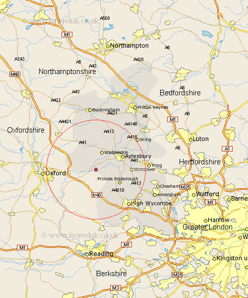
Buckinghamshire Map Showing Location of Chearsley
Population: 541
District: Aylesbury Vale
Easting: 472449 Northing: 208129
Latitude: 51.77 Longitude: -0.95
 = Chearsley
District: Aylesbury Vale
Easting: 472449 Northing: 208129
Latitude: 51.77 Longitude: -0.95
= Chearsley
This Chearsley map below is supplied by Google. Use the tools in the top left corner to zoom into street level or zoom out for a road map, you may also need to zoom in to see Chearsley on the map. Click and drag the map to move around. If the map fails to load try and refresh your browser or zoom in or out (+ or -).
Update - it seems Google no longer allow people to use their maps for free! This Chearsley map sometimes loads and sometimes gives a error. I am working on a solution.
Closest 30 Towns or Cities to Chearsley (Population over 500)
Haddenham 2.29km Long Crendon 2.29km Cuddington 2.94km Waddesdon 7.75km Stone 7.81km Longwick 7.82km Bledlow 7.99km Warminghall 8.03km Worminghall 8.03km Oakley 8.84km Brill 8.84km Princes Risborough 10.73km Radnage 10.91km Kimble 10.97km Great Kimble 10.97km Quainton 11.35km Stoke Mandeville 11.62km Ellesborough 11.62km Grendon Underwood 11.64km Aylesbury 11.72km Stokenchurch 13.43km Wendover 13.76km Weston Turville 13.88km North Marston 14.17km Halton 15.02km Whitchurch 15.24km Whitechurch 15.24km Marsh Gibbon 16.34km Buckland 16.47km Aston Clinton 16.47km