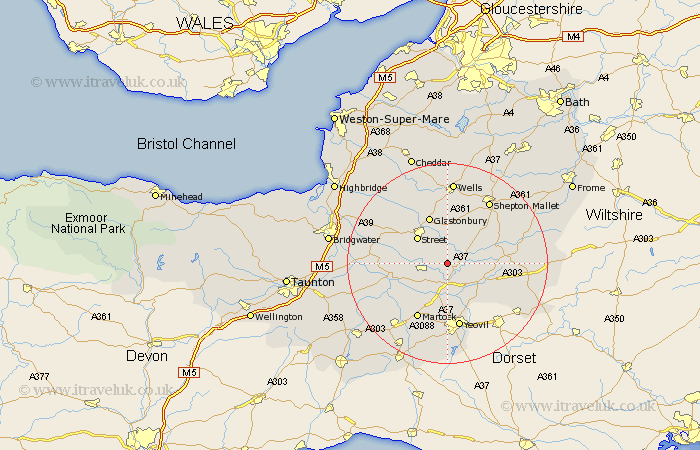
Somerset Map Showing Location of Charlton Mackrell
Population: 972
District: South Somerset
Easting: 353291 Northing: 129978
Latitude: 51.07 Longitude: -2.67
 = Charlton Mackrell
District: South Somerset
Easting: 353291 Northing: 129978
Latitude: 51.07 Longitude: -2.67
= Charlton Mackrell
This Charlton Mackrell map below is supplied by Google. Use the tools in the top left corner to zoom into street level or zoom out for a road map, you may also need to zoom in to see Charlton Mackrell on the map. Click and drag the map to move around. If the map fails to load try and refresh your browser or zoom in or out (+ or -).
Update - it seems Google no longer allow people to use their maps for free! This Charlton Mackrell map sometimes loads and sometimes gives a error. I am working on a solution.
Closest 30 Towns or Cities to Charlton Mackrell (Population over 500)
Butleigh 3.88km Barton Saint David 3.88km Barton St. David 3.88km Barton St David 3.88km Compton 5.09km Baltonsborough 5.68km Somerton 6.11km Yeovilton 7.42km Ilchester 7.51km Sparkford 7.92km Street 8.05km Queen Camel 8.05km Walton 8.93km Long Sutton 8.93km West Pennard 9.34km Mudford 9.91km Glastonbury 10.24km High Ham 10.48km Castle Cary 10.64km Ditcheat 10.85km North Cadbury 11.12km Tintinhull 11.66km Ashcott 11.9km Langport 12.23km Pilton 12.55km Martock 12.55km Kingsbury 13.15km Kingsbury Episcopi 13.15km Yeovil 13.18km Montacute 13.44km