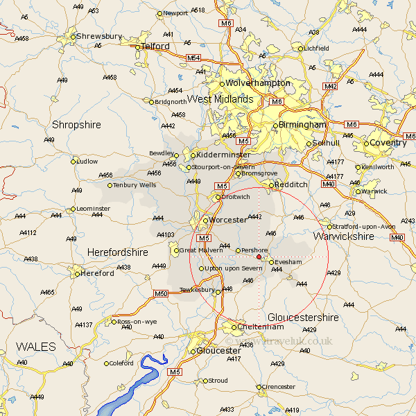
Worcestershire Map Showing Location of Charlton
Population: 601
District: Wychavon
Easting: 401141 Northing: 244675
Latitude: 52.1 Longitude: -1.98
 = Charlton
District: Wychavon
Easting: 401141 Northing: 244675
Latitude: 52.1 Longitude: -1.98
= Charlton
This Charlton map below is supplied by Google. Use the tools in the top left corner to zoom into street level or zoom out for a road map, you may also need to zoom in to see Charlton on the map. Click and drag the map to move around. If the map fails to load try and refresh your browser or zoom in or out (+ or -).
Update - it seems Google no longer allow people to use their maps for free! This Charlton map sometimes loads and sometimes gives a error. I am working on a solution.
Closest 30 Towns or Cities to Charlton (Population over 500)
Charlton 0km Cropthorne 2.18km Fladbury 2.94km Evesham 3.89km Offenham 4.55km Harvington 5.87km Pershore 5.99km Church Lench 6.01km South Littleton 6.83km Littleton 6.83km Badsey 7.08km Ashton under Hill 7.5km Ashton-under-Hill 7.5km Sedgeberrow 7.5km Bishampton 7.76km Cleeve Prior 8.78km Defford 9.3km Peopleton 9.71km Eckington 9.83km Beckford 9.87km Cow Honeybourne 10.41km Honeybourne 10.41km Inkberrow 11.18km Wadborough 11.53km Broadway 11.75km Bredon 11.75km Pebworth 12.66km Crowle 14.37km Kempsey 15.25km Ripple 15.55km