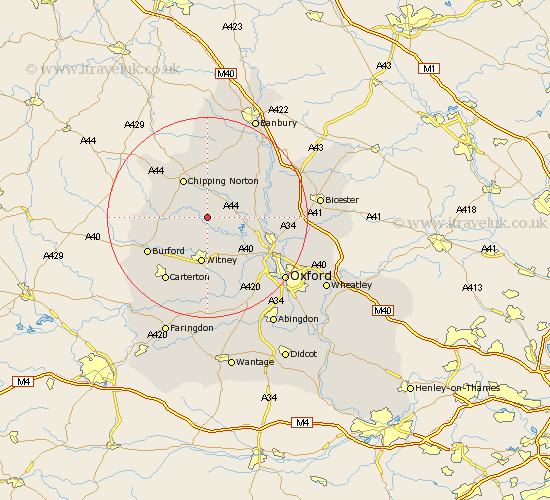
Oxfordshire Map Showing Location of Charlbury
Population: 2649
Area Size (ha): 82
District: West Oxfordshire
Easting: 436718 Northing: 218863
Latitude: 51.87 Longitude: -1.47
 = Charlbury
Area Size (ha): 82
District: West Oxfordshire
Easting: 436718 Northing: 218863
Latitude: 51.87 Longitude: -1.47
= Charlbury
This Charlbury map below is supplied by Google. Use the tools in the top left corner to zoom into street level or zoom out for a road map, you may also need to zoom in to see Charlbury on the map. Click and drag the map to move around. If the map fails to load try and refresh your browser or zoom in or out (+ or -).
Update - it seems Google no longer allow people to use their maps for free! This Charlbury map sometimes loads and sometimes gives a error. I am working on a solution.
Closest 30 Towns or Cities to Charlbury (Population over 500)
Chadlington 3.9km Stonesfield 4.36km Enstone 5.68km Leafield 7.2km Hailey 7.5km North Leigh 7.76km Shipton-under-Wychwood 8.22km Shipton 8.22km Shipton under Wychwood 8.22km Minster Lovell 8.72km Churchill 8.82km Chipping Norton 9.03km Witney 9.34km Church Handborough 9.37km Hanborough 9.37km Bladon 9.75km Tackley 10.3km Woodstock 10.47km Kingham 10.94km Duns Tew 11.77km Cassington 12.26km Ensham 12.51km Eynsham 12.51km Steeple Aston 12.72km Hook Norton 13.02km Ducklington 13.03km Brize Norton 13.08km Burford 13.64km Yarnton 13.64km Kirtlington 13.73km