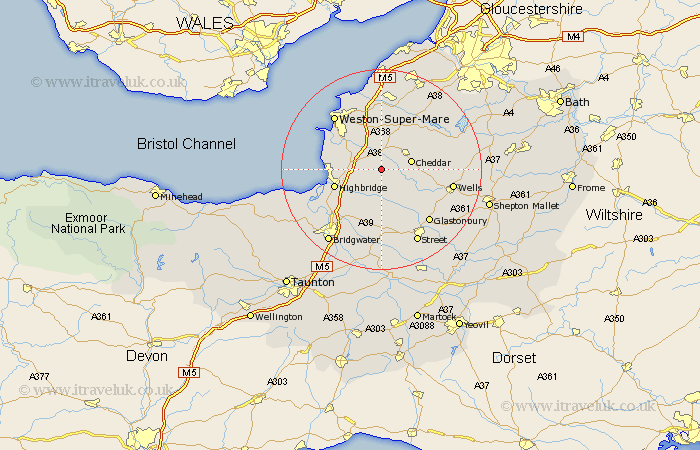
Somerset Map Showing Location of Chapel Allerton
Population: 348
District: Sedgemoor
Easting: 340683 Northing: 150492
Latitude: 51.25 Longitude: -2.85
 = Chapel Allerton
District: Sedgemoor
Easting: 340683 Northing: 150492
Latitude: 51.25 Longitude: -2.85
= Chapel Allerton
This Chapel Allerton map below is supplied by Google. Use the tools in the top left corner to zoom into street level or zoom out for a road map, you may also need to zoom in to see Chapel Allerton on the map. Click and drag the map to move around. If the map fails to load try and refresh your browser or zoom in or out (+ or -).
Update - it seems Google no longer allow people to use their maps for free! This Chapel Allerton map sometimes loads and sometimes gives a error. I am working on a solution.
Closest 30 Towns or Cities to Chapel Allerton (Population over 500)
Weare 2.19km Wedmore 4.37km Mark 5.08km Axbridge 5.08km Priddy 5.8km Cheddar 6.09km Shipham 6.56km Banwell 7.51km Lympsham 7.88km Rodney Stoke 8.12km Brent Knoll 8.12km Bleadon 8.91km Sandford 9.33km Hutton 9.41km Westbury 9.47km Locking 9.55km Churchill 9.89km Highbridge 9.99km Meare 10.36km Burnham on Sea 10.61km Burnham 10.61km Burnham-on-Sea 10.61km Huntspill 10.82km Berrow 11.75km Cossington 12.05km Brean 12.17km Puriton 12.32km Pawlett 12.81km Wookey 12.87km Shapwick 13.03km