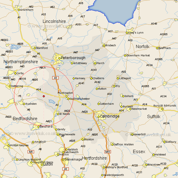
Cambridgeshire Map Showing Location of Catworth
Population: 366
District: Huntingdonshire
Easting: 509009 Northing: 271827
Latitude: 52.33 Longitude: -0.4
 = Catworth
District: Huntingdonshire
Easting: 509009 Northing: 271827
Latitude: 52.33 Longitude: -0.4
= Catworth
This Catworth map below is supplied by Google. Use the tools in the top left corner to zoom into street level or zoom out for a road map, you may also need to zoom in to see Catworth on the map. Click and drag the map to move around. If the map fails to load try and refresh your browser or zoom in or out (+ or -).
Update - it seems Google no longer allow people to use their maps for free! This Catworth map sometimes loads and sometimes gives a error. I am working on a solution.
Closest 30 Towns or Cities to Catworth (Population over 500)
Kimbolton 3.87km Spaldwick 4.53km Ellington 8.14km Great Staughton 8.68km Graffham 8.75km Grafham 8.75km Alconbury 9.79km Brampton Grange 11.48km Brampton 11.48km Buckden 11.61km Hail Weston 13.66km Little Paxton 13.78km Sawtry 14.34km Offord 14.69km Offord Cluny 14.69km Huntingdon 14.72km Eaton Socon 15.2km Great Paxton 15.53km Saint Neots 15.82km St Neots 15.82km St. Neots 15.82km Godmanchester 15.96km Durolipons 15.96km Folksworth 18.01km Stilton 18.46km Holme 18.65km Wyton 19.25km Hemingford 19.34km Hemingford Grey 19.34km West Hemingford 20.47km