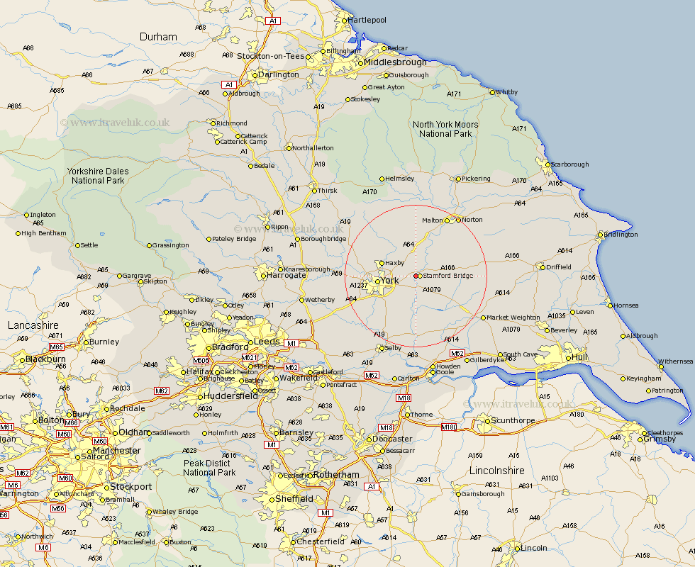
Yorkshire Map Showing Location of Low Catton
Population: 284
Easting: 469939 Northing: 454686
Latitude: 53.98 Longitude: -0.93
 = Low Catton
Easting: 469939 Northing: 454686
Latitude: 53.98 Longitude: -0.93
= Low Catton
This Low Catton map below is supplied by Google. Use the tools in the top left corner to zoom into street level or zoom out for a road map, you may also need to zoom in to see Low Catton on the map. Click and drag the map to move around. If the map fails to load try and refresh your browser or zoom in or out (+ or -).
Update - it seems Google no longer allow people to use their maps for free! This Low Catton map sometimes loads and sometimes gives a error. I am working on a solution.
Closest 30 Towns or Cities to Low Catton (Population over 500)
Stamford Bridge 1.09km Wilberfoss 4.94km Fangfoss 6.8km Sutton upon Derwent 7.49km Sutton 7.49km Heslington 7.52km Earswick 7.85km Huntington 7.85km New Earswick 8.72km Barmby-on-the-Moor 9.44km Barmby on the Moor 9.44km Barmby 9.44km Haxby 9.47km Wigginton 9.47km Strensall 9.88km York 9.98km Clifton 11.05km Wheldrake 11.33km Sheriff Hutton 11.94km Bishopthorne 12.24km Bishopthorpe 12.24km Melbourne 12.39km Skelton 13.21km Pocklington 13.22km Escrick 13.49km Upper Poppleton 14.29km Poppleton 14.29km Acaster Malbis 14.31km Terrington 14.99km Copmanthorpe 15.04km