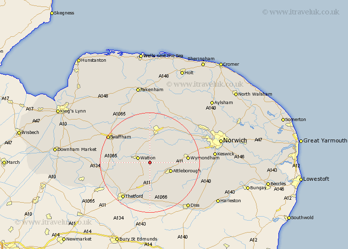
Norfolk Map Showing Location of Caston
Population: 459
District: Breckland
Easting: 596596 Northing: 298675
Latitude: 52.55 Longitude: 0.9
 = Caston
District: Breckland
Easting: 596596 Northing: 298675
Latitude: 52.55 Longitude: 0.9
= Caston
This Caston map below is supplied by Google. Use the tools in the top left corner to zoom into street level or zoom out for a road map, you may also need to zoom in to see Caston on the map. Click and drag the map to move around. If the map fails to load try and refresh your browser or zoom in or out (+ or -).
Update - it seems Google no longer allow people to use their maps for free! This Caston map sometimes loads and sometimes gives a error. I am working on a solution.
Closest 30 Towns or Cities to Caston (Population over 500)
Rockland 2.17km Rockland St. Peter 2.17km Rockland Saint Peter 2.17km Rockland St Peter 2.17km Griston 2.25km Carbrooke 3.87km Carbooke 3.87km Watton 4.87km Great Ellingham 4.88km Hockham 5.67km Hingham 6.74km Shipdham 7.42km Attleborough 8.72km Ashill 8.75km Besthorpe 9.75km Yaxham 12km Quidenham 12.47km Old Buckenham 12.57km East Harling 13.17km Necton 13.63km Kenninghall 14.15km Mattishall 14.31km Banham 14.32km Wymondham 14.76km Harling 14.82km Dereham 14.99km East Dereham 14.99km Palgrave 17.18km Great Palgrave 17.18km Hockering 17.18km