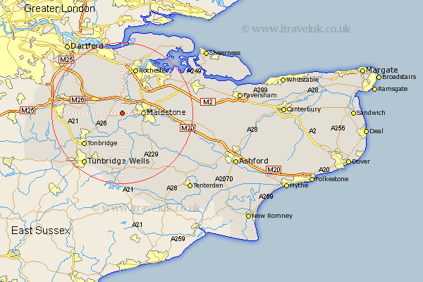
Kent Map Showing Location of East Malling
Population: 23596
Area Size (ha): 787
District: Tonbridge and Malling
Easting: 569738 Northing: 154814
Latitude: 51.27 Longitude: 0.43
 = East Malling
Area Size (ha): 787
District: Tonbridge and Malling
Easting: 569738 Northing: 154814
Latitude: 51.27 Longitude: 0.43
= East Malling
This East Malling map below is supplied by Google. Use the tools in the top left corner to zoom into street level or zoom out for a road map, you may also need to zoom in to see East Malling on the map. Click and drag the map to move around. If the map fails to load try and refresh your browser or zoom in or out (+ or -).
Update - it seems Google no longer allow people to use their maps for free! This East Malling map sometimes loads and sometimes gives a error. I am working on a solution.
Closest 30 Towns or Cities to East Malling (Population over 500)
Wateringbury 2.19km Addington 2.97km East Barming 2.97km Barming 2.97km West Malling 2.97km Aylesford 3.94km Offham 4.99km Mereworth 5km Ryarsh 5.08km Yalding 5.56km Snodland 5.56km Maidstone 5.8km Burham 6.56km Loose 6.88km Wouldham 7.76km Linton 8.03km Hunton 8.19km East Peckham 8.19km Boxley 8.32km Boughton Monchelsea 8.91km Hadlow 8.91km Wrotham 8.92km Bearsted 9.28km Cuxton 9.34km Borough Green 9.46km Plaxtol 9.46km Detling 10.6km Ridley 10.99km Langley 11.08km Paddock Wood 11.65km