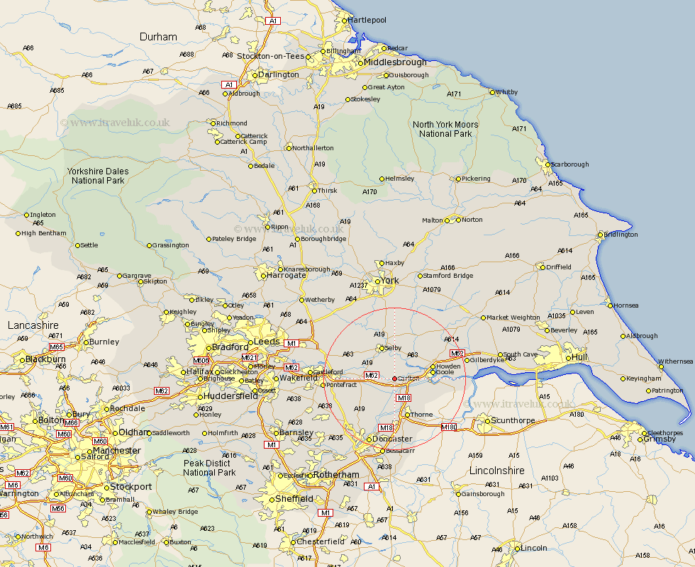
Yorkshire Map Showing Location of Carlton
Population: 1618
Area Size (ha): 44
District: Selby
Easting: 464912 Northing: 423092
Latitude: 53.7 Longitude: -1.02
 = Carlton
Area Size (ha): 44
District: Selby
Easting: 464912 Northing: 423092
Latitude: 53.7 Longitude: -1.02
= Carlton
This Carlton map below is supplied by Google. Use the tools in the top left corner to zoom into street level or zoom out for a road map, you may also need to zoom in to see Carlton on the map. Click and drag the map to move around. If the map fails to load try and refresh your browser or zoom in or out (+ or -).
Update - it seems Google no longer allow people to use their maps for free! This Carlton map sometimes loads and sometimes gives a error. I am working on a solution.
Closest 30 Towns or Cities to Carlton (Population over 500)
Snaith 2.16km Rawcliffe 4.77km Pollington 4.96km Hensall 5.49km Barlow 5.56km Cliffe Common 7.73km Cliff Common Station 7.73km Hemingbrough 7.73km Airmyn 7.9km Brayton 8.62km Whitley 8.97km Selby 9.83km Goole 10.05km Howden 10.54km Fishlake 11.12km Hook 11.13km Stainforth 11.17km Moorends 11.51km Thorne 11.6km Askern 12.04km Swinefleet 12.21km Hambleton 12.34km Norton 13.25km Wistow 14.09km Knottingley 14.26km Knottingly 14.26km Campsall 14.37km Bubwith 14.55km Sutton 14.88km Riccall 14.98km