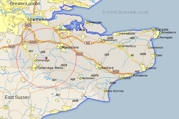
Kent Map Showing Location of East Peckham
Population: 2783
Area Size (ha): 52
District: Tonbridge and Malling
Easting: 566491 Northing: 147288
Latitude: 51.2 Longitude: 0.38
 = East Peckham
Area Size (ha): 52
District: Tonbridge and Malling
Easting: 566491 Northing: 147288
Latitude: 51.2 Longitude: 0.38
= East Peckham
This East Peckham map below is supplied by Google. Use the tools in the top left corner to zoom into street level or zoom out for a road map, you may also need to zoom in to see East Peckham on the map. Click and drag the map to move around. If the map fails to load try and refresh your browser or zoom in or out (+ or -).
Update - it seems Google no longer allow people to use their maps for free! This East Peckham map sometimes loads and sometimes gives a error. I am working on a solution.
Closest 30 Towns or Cities to East Peckham (Population over 500)
Paddock Wood 3.7km Yalding 3.95km Hadlow 3.95km Mereworth 5.68km Wateringbury 6.03km Hunton 6.97km Tonbridge 7.21km Brenchley 7.51km Barming 8.04km East Barming 8.04km Plaxtol 8.04km East Malling 8.19km Pembury 8.75km Marden 8.93km Addington 9.34km Offham 9.34km West Malling 9.34km Linton 9.47km Horsmonden 9.9km Loose 10km Tunbridge Wells 10.18km Turnbridge Wells 10.18km Royal Tunbridge Wells 10.18km Hildenborough 10.45km Boughton Monchelsea 10.61km Borough Green 10.93km Ryarsh 11.12km Aylesford 11.59km Leigh 11.76km Staplehurst 11.84km