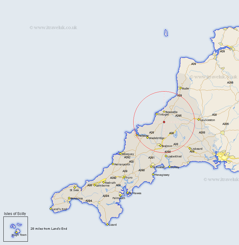
Cornwall Map Showing Location of Camelford
Population: 2256
District: North Cornwall
Easting: 210196 Northing: 83167
Latitude: 50.62 Longitude: -4.68
 = Camelford
District: North Cornwall
Easting: 210196 Northing: 83167
Latitude: 50.62 Longitude: -4.68
= Camelford
This Camelford map below is supplied by Google. Use the tools in the top left corner to zoom into street level or zoom out for a road map, you may also need to zoom in to see Camelford on the map. Click and drag the map to move around. If the map fails to load try and refresh your browser or zoom in or out (+ or -).
Update - it seems Google no longer allow people to use their maps for free! This Camelford map sometimes loads and sometimes gives a error. I am working on a solution.
Closest 30 Towns or Cities to Camelford (Population over 500)
Tintagel 7.28km Forrabury 7.77km Altarnun 10.75km Blisland 11.12km Cardinham 15.02km Cardingham 15.02km Wadebridge 15.36km Bodmin 16.85km Lewannick 17.74km North Petherwin 19.12km Poundstock 19.14km Pounstock 19.14km North Hill 19.15km Lanivet 19.45km Padstow 19.94km St. Issey 20.98km Saint Issey 20.98km St Issey 20.98km South Petherwin 21.17km Dobwalls 21.96km Launceston 22.41km Saint Merryn 22.89km St. Merryn 22.89km St Merryn 22.89km Marhamchurch 23.52km Markhamchurch 23.52km Lezant 23.82km Lostwithiel 24.13km Linkinhorne 24.21km St Blazey 24.21km