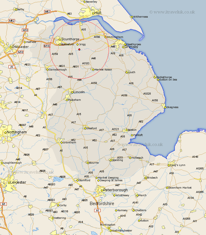
Lincolnshire Map Showing Location of Cadney
Population: 429
Easting: 501656 Northing: 403346
Latitude: 53.52 Longitude: -0.47
 = Cadney
Easting: 501656 Northing: 403346
Latitude: 53.52 Longitude: -0.47
= Cadney
This Cadney map below is supplied by Google. Use the tools in the top left corner to zoom into street level or zoom out for a road map, you may also need to zoom in to see Cadney on the map. Click and drag the map to move around. If the map fails to load try and refresh your browser or zoom in or out (+ or -).
Update - it seems Google no longer allow people to use their maps for free! This Cadney map sometimes loads and sometimes gives a error. I am working on a solution.
Closest 30 Towns or Cities to Cadney (Population over 500)
Brigg 3.86km Scawby 4.78km Hibaldstow 4.78km North Kelsey 4.97km Wrawby 5.56km South Kelsey 5.98km Barnetby 7.09km Barnetby le Wold 7.09km Broughton 7.83km Waddingham 8.12km Kirton in Lindsey 10.43km Kirton 10.43km Nettleton 10.59km Caistor 10.59km Messingham 12.26km Bottesford 12.67km Appleby 12.93km Scotton 13.34km Scotter 13.74km Ulceby 14.18km Scunthorpe 14.2km Keelby 15.36km Middle Rasen 16.24km South Killingholme 16.39km South Ferriby 16.82km Habrough 17.05km Winterton 17.24km Market Rasen 17.26km Flixborough 18.12km Goxhill 18.86km