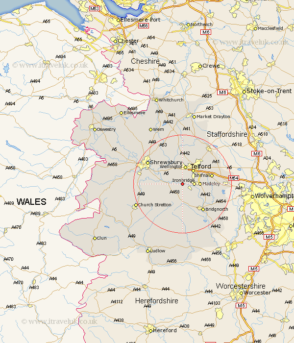
Shropshire Map Showing Location of Buildwas
Population: 282
District: Shrewsbury and Atcham
Easting: 363909 Northing: 304122
Latitude: 52.63 Longitude: -2.53
 = Buildwas
District: Shrewsbury and Atcham
Easting: 363909 Northing: 304122
Latitude: 52.63 Longitude: -2.53
= Buildwas
This Buildwas map below is supplied by Google. Use the tools in the top left corner to zoom into street level or zoom out for a road map, you may also need to zoom in to see Buildwas on the map. Click and drag the map to move around. If the map fails to load try and refresh your browser or zoom in or out (+ or -).
Update - it seems Google no longer allow people to use their maps for free! This Buildwas map sometimes loads and sometimes gives a error. I am working on a solution.
Closest 30 Towns or Cities to Buildwas (Population over 500)
Broseley 3.85km Much Wenlock 3.87km Ironbridge 4.5km Cressage 5.62km Barrow Bridge 5.83km Barrow 5.83km Dawley 5.83km Madeley 6.75km Telford 7.15km Wellington 7.5km Wrockwardine 7.75km Ketley 8.15km Hadley 8.15km Oakengates 10.02km Trench 10.31km Berrington 11.4km Downington 11.47km Donnington 11.47km Shifnal 11.84km Rodington 12.46km Bridgnorth 13.63km High Ercall 13.73km Ercall Magna 13.73km Lilleshall 14.3km Worfield 14.58km Condover 14.74km Ditton Priors 14.99km Cherrington 15km Baystonhill 15.08km Shrewsbury 16.37km