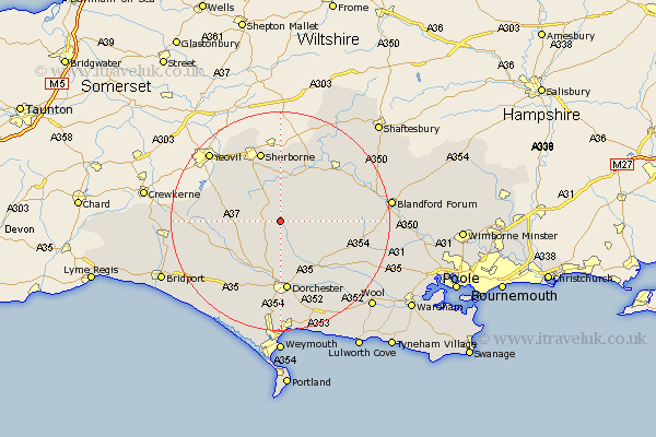
Dorset Map Showing Location of Buckland Newton
Population: 618
District: West Dorset
Easting: 368313 Northing: 103910
Latitude: 50.83 Longitude: -2.45
 = Buckland Newton
District: West Dorset
Easting: 368313 Northing: 103910
Latitude: 50.83 Longitude: -2.45
= Buckland Newton
This Buckland Newton map below is supplied by Google. Use the tools in the top left corner to zoom into street level or zoom out for a road map, you may also need to zoom in to see Buckland Newton on the map. Click and drag the map to move around. If the map fails to load try and refresh your browser or zoom in or out (+ or -).
Update - it seems Google no longer allow people to use their maps for free! This Buckland Newton map sometimes loads and sometimes gives a error. I am working on a solution.
Closest 30 Towns or Cities to Buckland Newton (Population over 500)
Cerne Abbas 3.88km Piddletrenthide 6.03km Puddletrenthide 6.03km Leigh 7.94km Yetminster 11.05km Maiden Newton 11.05km Charminster 11.12km Piddletown 11.63km Puddletown 11.63km Milton Abbas 12.28km Dorchester 13.02km Bradford Abbas 13.17km Sherborne 13.44km Sherbourne 13.44km Milborne St. Andrew 13.86km Milborne 13.86km Milborne Saint Andrew 13.86km Milborne St Andrew 13.86km Stalbridge 14.23km Sturminster Newton 14.93km Winterborne Stickland 15.22km Stickland Winterborne 15.22km Whitechurch 15.67km Shillingstone 15.87km Broadmayne 17.33km Marnhull 17.54km Child Okeford 17.81km Stourpaine 18.41km Bere Regis 18.84km Winterborne Kingston 19.07km