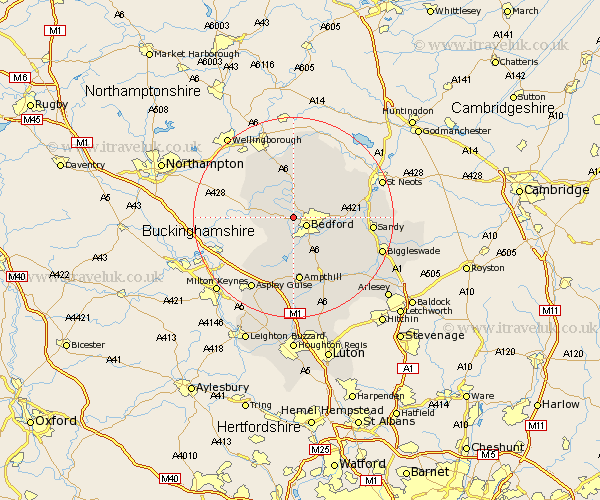
Bedfordshire Map Showing Location of Bromham
Population: 3825
Area Size (ha): 117
District: Bedford
Easting: 501478 Northing: 251273
Latitude: 52.15 Longitude: -0.52
 = Bromham
Area Size (ha): 117
District: Bedford
Easting: 501478 Northing: 251273
Latitude: 52.15 Longitude: -0.52
= Bromham
This Bromham map below is supplied by Google. Use the tools in the top left corner to zoom into street level or zoom out for a road map, you may also need to zoom in to see Bromham on the map. Click and drag the map to move around. If the map fails to load try and refresh your browser or zoom in or out (+ or -).
Update - it seems Google no longer allow people to use their maps for free! This Bromham map sometimes loads and sometimes gives a error. I am working on a solution.
Closest 30 Towns or Cities to Bromham (Population over 500)
Bromham 0km Oakley 1.86km Biddenham 2.18km Clapham 2.27km Stevington 2.94km Bedford 3.12km Milton Ernest 3.7km Pavenham 4.34km Kempston 6.01km Elstow 6.52km Harrold 6.78km Carlton 6.78km Thurleigh 7.18km Wootton 7.42km Sharnbrook 7.5km Turvey 8.17km Cople 9.83km Willington 10.4km Cranfield 10.87km Wilstead 10.87km Wilshamstead 10.87km Wilhamstead 10.87km Willshamstead 10.87km Bolnhurst 10.88km Marston Moretaine 11.35km Great Barford 11.37km Riseley 11.63km Houghton Conquest 11.63km Ampthill 13.02km Haynes 13.05km