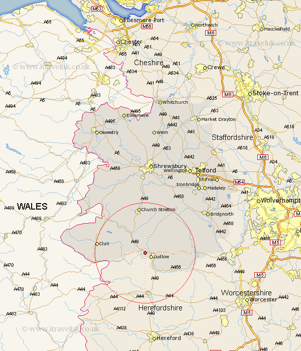
Shropshire Map Showing Location of Bromfield
Population: 306
District: South Shropshire
Easting: 347823 Northing: 276459
Latitude: 52.38 Longitude: -2.77
 = Bromfield
District: South Shropshire
Easting: 347823 Northing: 276459
Latitude: 52.38 Longitude: -2.77
= Bromfield
This Bromfield map below is supplied by Google. Use the tools in the top left corner to zoom into street level or zoom out for a road map, you may also need to zoom in to see Bromfield on the map. Click and drag the map to move around. If the map fails to load try and refresh your browser or zoom in or out (+ or -).
Update - it seems Google no longer allow people to use their maps for free! This Bromfield map sometimes loads and sometimes gives a error. I am working on a solution.
Closest 30 Towns or Cities to Bromfield (Population over 500)
Ludlow 2.92km Craven Arms 7.17km Caynham 7.73km Bitterley 8.13km Diddlebury 9.87km Wistanstow 10.86km Bucknell 12.58km Rushbury 15.22km North Lydbury 15.51km Lydbury North 15.51km Clun 18.47km Church Stretton 18.67km Ditton Priors 18.77km Cleobury Mortimer 19.23km Kinlet 24.03km Shelve 26.64km Highley 27.04km Much Wenlock 28.21km Bridgnorth 28.99km Alveley 29.22km Cressage 29.59km Condover 29.68km Berrington 30km Minsterley 30km Pontesbury 30.69km Chirbury 30.89km Chirburg 30.89km Barrow Bridge 31.52km Barrow 31.52km Baystonhill 31.53km