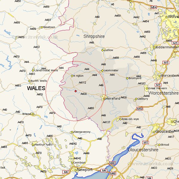
Herefordshire Map Showing Location of Bredwardine
Population: 192
Easting: 332651 Northing: 245131
Latitude: 52.1 Longitude: -2.98
 = Bredwardine
Easting: 332651 Northing: 245131
Latitude: 52.1 Longitude: -2.98
= Bredwardine
This Bredwardine map below is supplied by Google. Use the tools in the top left corner to zoom into street level or zoom out for a road map, you may also need to zoom in to see Bredwardine on the map. Click and drag the map to move around. If the map fails to load try and refresh your browser or zoom in or out (+ or -).
Update - it seems Google no longer allow people to use their maps for free! This Bredwardine map sometimes loads and sometimes gives a error. I am working on a solution.
Closest 30 Towns or Cities to Bredwardine (Population over 500)
Eardisley 3.87km Almeley 5.56km Peterchurch 7.76km Clifford 7.97km Weobley 10.88km Lyonshall 11.12km Kington 11.35km Madley 11.75km Dilwyn 12.21km Credenhill 12.52km Kingstone 13.82km Pembridge 14.17km Burghill 14.8km Eardisland 15.85km Wellington 16.36km Allensmore 16.52km Moreton 17.08km Moreton on Lugg 17.08km Moreton-on-Lugg 17.08km Ewyas Harold 18.03km Shobdon 18.48km Hereford 19.05km Bullingham 19.68km Sutton 20.49km Much Dewchurch 20.57km Kingsland 20.84km Bodenham 21.22km Leominster 22.59km Lugwardine 23.08km Much Birch 23.5km