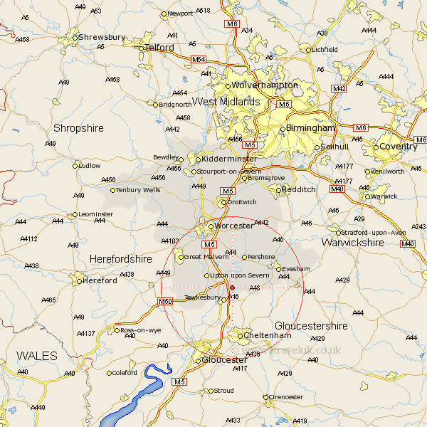
Worcestershire Map Showing Location of Bredon
Population: 1927
Area Size (ha): 59
District: Wychavon
Easting: 391997 Northing: 237263
Latitude: 52.03 Longitude: -2.12
 = Bredon
Area Size (ha): 59
District: Wychavon
Easting: 391997 Northing: 237263
Latitude: 52.03 Longitude: -2.12
= Bredon
This Bredon map below is supplied by Google. Use the tools in the top left corner to zoom into street level or zoom out for a road map, you may also need to zoom in to see Bredon on the map. Click and drag the map to move around. If the map fails to load try and refresh your browser or zoom in or out (+ or -).
Update - it seems Google no longer allow people to use their maps for free! This Bredon map sometimes loads and sometimes gives a error. I am working on a solution.
Closest 30 Towns or Cities to Bredon (Population over 500)
Eckington 3.71km Ripple 4.56km Defford 5.56km Beckford 5.99km Upton upon Severn 7.78km Upton-on-Severn 7.78km Upton on Severn 7.78km Upton 7.78km Ashton under Hill 7.98km Ashton-under-Hill 7.98km Wadborough 9.55km Hanley Castle 9.72km Cropthorne 9.73km Pershore 9.88km Seven Stoke 10.09km Severn Stoke 10.09km Sedgeberrow 10.26km Fladbury 11.52km Charlton 11.75km Kempsey 12.49km Castlemorton 12.54km Welland 12.68km Peopleton 13.03km Evesham 13.71km Eldersfield 13.72km Offenham 15.55km Malvern Wells 15.82km Bishampton 16.33km Malvern 16.52km Great Malvern 16.52km