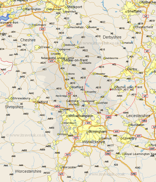
Staffordshire Map Showing Location of Branston
Population: 6540
District: East Staffordshire
Easting: 422479 Northing: 320724
Latitude: 52.78 Longitude: -1.67
 = Branston
District: East Staffordshire
Easting: 422479 Northing: 320724
Latitude: 52.78 Longitude: -1.67
= Branston
This Branston map below is supplied by Google. Use the tools in the top left corner to zoom into street level or zoom out for a road map, you may also need to zoom in to see Branston on the map. Click and drag the map to move around. If the map fails to load try and refresh your browser or zoom in or out (+ or -).
Update - it seems Google no longer allow people to use their maps for free! This Branston map sometimes loads and sometimes gives a error. I am working on a solution.
Closest 30 Towns or Cities to Branston (Population over 500)
Tatenhill 2.24km Anslow 3.88km Rolleston 5.67km Hanbury 7.14km Hatton 7.42km Tutbury 7.5km Alrewas 8.66km Yoxall 8.68km Edingale 9.33km Clifton Campville 11.62km Elford 11.62km Marchington 12.89km Whittington 13km Wigginton 14.86km Lichfield 15.02km Abbots Bromley 15.03km Armitage 15.6km Longdon 16.35km Colton 16.92km Uttoxeter 17.89km Rugeley 18.03km Tamworth 18.56km Fazeley 18.66km Burntwood 19.25km Shenstone 20.11km Drayton Bassett 20.66km Hammerwich 20.8km Colwich 21.3km Rocester 21.65km Norton Canes 23.06km