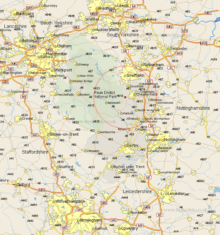
Derbyshire Map Showing Location of Old Brampton
Population: 1158
District: North East Derbyshire
Easting: 433370 Northing: 370843
Latitude: 53.23 Longitude: -1.5
 = Old Brampton
District: North East Derbyshire
Easting: 433370 Northing: 370843
Latitude: 53.23 Longitude: -1.5
= Old Brampton
This Old Brampton map below is supplied by Google. Use the tools in the top left corner to zoom into street level or zoom out for a road map, you may also need to zoom in to see Old Brampton on the map. Click and drag the map to move around. If the map fails to load try and refresh your browser or zoom in or out (+ or -).
Update - it seems Google no longer allow people to use their maps for free! This Old Brampton map sometimes loads and sometimes gives a error. I am working on a solution.
Closest 30 Towns or Cities to Old Brampton (Population over 500)
Walton 2.89km Barlow 3.88km Holmesfield 5.67km Wingerworth 5.78km Chesterfield 5.85km Brimington 6.91km Unstone 7.11km Ashover 7.49km Dronfield 7.74km Baslow 7.76km Darley Dale 9.96km Grindleford 10.47km Grindleford Bridge 10.47km Stoney Middleton 10.65km Stony Middleton 10.65km Staveley 10.65km Clay Cross 10.8km North Wingfield 11.04km Tansley 11.17km Matlock 11.34km Eckington 11.56km Heath 11.7km Bakewell 11.7km Eyam 12.4km Stretton 12.43km Mosbrough 12.83km Mosborough 12.83km Pilsley 12.83km Great Longstone 13.31km Longstone 13.31km