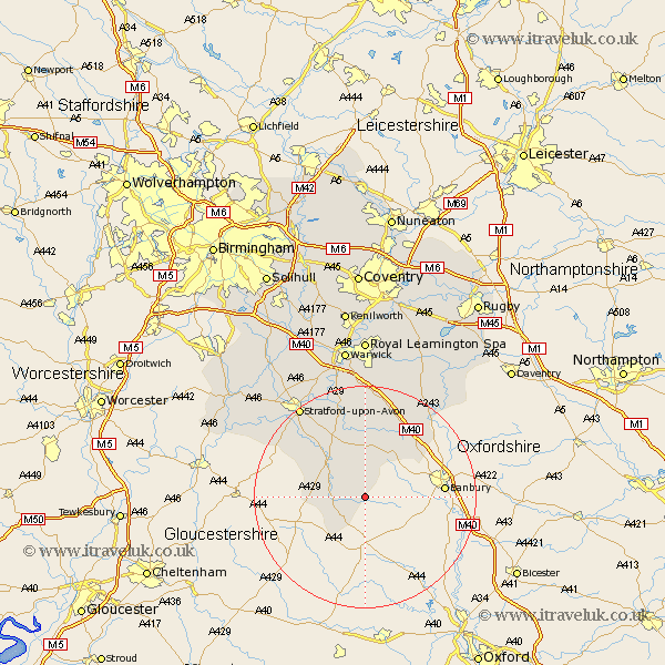
Warwickshire Map Showing Location of Lower Brailes
Population: 1023
District: Stratford-on-Avon
Easting: 432010 Northing: 237359
Latitude: 52.03 Longitude: -1.53
 = Lower Brailes
District: Stratford-on-Avon
Easting: 432010 Northing: 237359
Latitude: 52.03 Longitude: -1.53
= Lower Brailes
This Lower Brailes map below is supplied by Google. Use the tools in the top left corner to zoom into street level or zoom out for a road map, you may also need to zoom in to see Lower Brailes on the map. Click and drag the map to move around. If the map fails to load try and refresh your browser or zoom in or out (+ or -).
Update - it seems Google no longer allow people to use their maps for free! This Lower Brailes map sometimes loads and sometimes gives a error. I am working on a solution.
Closest 30 Towns or Cities to Lower Brailes (Population over 500)
Shipston on Stour 6km Shipston-on-Stour 6km Church Tysoe 6.01km Middle Tysoe 6.01km Tysoe 6.01km Long Compton 6.53km Ilmington 11.67km Eatington 12.02km Ettington 12.02km Kineton 13.18km Quinton 16.52km Fenny Compton 16.54km Lighthorne 16.83km Wellesbourne 17.03km Wellesbourne Hastings 17.03km Bishops Itchington 19.75km Stratford-upon-Avon 20.19km Stratford-on-Avon 20.19km Stratford 20.19km Stratford upon Avon 20.19km Stratford on Avon 20.19km Bishops Tachbrook 22.24km Barford 22.7km Harbury 22.95km Whitnash 24.12km Priors Marston 25.2km Bearley 26.09km Snitterfield 26.09km Southam 26.18km Napton-on-the-Hill 26.71km