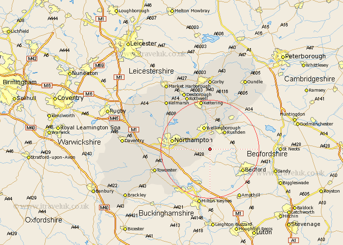
Northamptonshire Map Showing Location of Bozeat
Population: 1814
Area Size (ha): 49
District: Wellingborough
Easting: 491080 Northing: 258491
Latitude: 52.22 Longitude: -0.67
 = Bozeat
Area Size (ha): 49
District: Wellingborough
Easting: 491080 Northing: 258491
Latitude: 52.22 Longitude: -0.67
= Bozeat
This Bozeat map below is supplied by Google. Use the tools in the top left corner to zoom into street level or zoom out for a road map, you may also need to zoom in to see Bozeat on the map. Click and drag the map to move around. If the map fails to load try and refresh your browser or zoom in or out (+ or -).
Update - it seems Google no longer allow people to use their maps for free! This Bozeat map sometimes loads and sometimes gives a error. I am working on a solution.
Closest 30 Towns or Cities to Bozeat (Population over 500)
Wollaston 3.7km Yardley Hastings 4.91km Whiston 5.97km Irchester 6.01km Doddington 6.01km Great Doddington 6.01km Wilby 6.52km Earls Barton 6.78km Denton 7.06km Rushden 9.33km Wellingborough 9.54km Sywell 10.86km Higham Ferrers 10.86km Great Billing 10.87km Billing 10.87km Hackleton 10.88km Great Houghton 11.35km Houghton 11.35km Irthlingborough 12.01km Overstone 12.61km Finedon 13.16km Stanwick 13.66km Moulton 14.51km Burton Latimer 14.82km Hardingstone 14.88km Isham 14.99km Northampton 15.21km Wootton 15.23km Hartwell 15.57km Raunds 15.82km