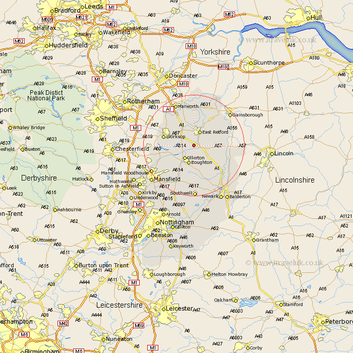
Nottinghamshire Map Showing Location of Elksley
Population: 805
District: Bassetlaw
Easting: 468911 Northing: 374940
Latitude: 53.27 Longitude: -0.97
 = Elksley
District: Bassetlaw
Easting: 468911 Northing: 374940
Latitude: 53.27 Longitude: -0.97
= Elksley
This Elksley map below is supplied by Google. Use the tools in the top left corner to zoom into street level or zoom out for a road map, you may also need to zoom in to see Elksley on the map. Click and drag the map to move around. If the map fails to load try and refresh your browser or zoom in or out (+ or -).
Update - it seems Google no longer allow people to use their maps for free! This Elksley map sometimes loads and sometimes gives a error. I am working on a solution.
Closest 30 Towns or Cities to Elksley (Population over 500)
Walesby 3.88km Grove 5.78km Markham 5.85km East Markham 5.85km East Retford 5.98km Ollerton 6.48km Boughton 7.63km Tuxford 7.85km Sutton 9.33km Hayton 10.27km Clarborough 10.27km Edwinstowe 11.42km North Leverton 11.42km Ramskill 11.6km Ranskill 11.6km Worksop 11.68km Bampton 11.68km Rampton 11.68km Blyth 12.95km Clipstone 14.23km Warsop 14.28km Shireoaks 14.41km Mattersey 14.82km Everton 14.86km Gringley 15.47km Gringley-on-the-Hill 15.47km Gringley on the Hill 15.47km Bilsthorpe 15.48km Styrrup 16.73km Beckingham 17.27km