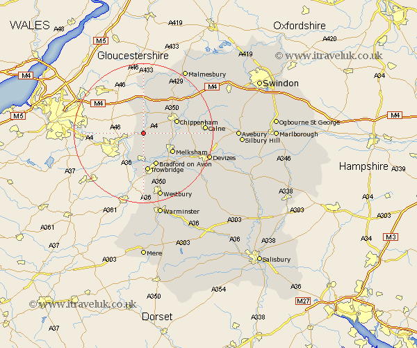
Wiltshire Map Showing Location of Box
Population: 3439
District: North Wiltshire
Easting: 382616 Northing: 168715
Latitude: 51.42 Longitude: -2.25
 = Box
= Box
District: North Wiltshire
Easting: 382616 Northing: 168715
Latitude: 51.42 Longitude: -2.25
= Box
This Box map below is supplied by Google. Use the tools in the top left corner to zoom into street level or zoom out for a road map, you may also need to zoom in to see Box on the map. Click and drag the map to move around. If the map fails to load try and refresh your browser or zoom in or out (+ or -).
Update - it seems Google no longer allow people to use their maps for free! This Box map sometimes loads and sometimes gives a error. I am working on a solution.
Closest 30 Towns or Cities to Box (Population over 500)
Colerne 2.18km Whitley 5.02km Atworth 5.08km Corsham 6.07km Broughton Gifford 7.23km Yatton Keynell 8.18km Holt 8.19km Nettleton 9.33km Laycock 9.43km Lacock 9.43km Melksham 9.82km Bradford on Avon 9.9km Bradford-on-Avon 9.9km Chippenham 9.96km Semington 10.16km Limpley Stoke 10.93km Trowbridge 11.18km Westwood 11.36km Hilperton 12.04km Seend 13.74km Stanton Saint Quintin 13.75km Stanton 13.75km Stanton St. Quintin 13.75km Stanton St Quintin 13.75km Hullavington 14.7km Sutton Benger 14.8km Luckington 14.82km Southwick 14.88km North Bradley 15.01km Steeple Ashton 15.3km