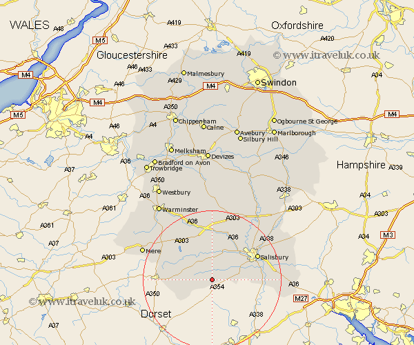
Wiltshire Map Showing Location of Bower Chalke
Population: 378
District: Salisbury
Easting: 402338 Northing: 122350
Latitude: 51 Longitude: -1.97
 = Bower Chalke
District: Salisbury
Easting: 402338 Northing: 122350
Latitude: 51 Longitude: -1.97
= Bower Chalke
This Bower Chalke map below is supplied by Google. Use the tools in the top left corner to zoom into street level or zoom out for a road map, you may also need to zoom in to see Bower Chalke on the map. Click and drag the map to move around. If the map fails to load try and refresh your browser or zoom in or out (+ or -).
Update - it seems Google no longer allow people to use their maps for free! This Bower Chalke map sometimes loads and sometimes gives a error. I am working on a solution.
Closest 30 Towns or Cities to Bower Chalke (Population over 500)
Broad Chalke 2.98km Bishopstone 5.02km Fovant 6.03km Combebissett 8.96km Coombe Bissett 8.96km Dinton 9.34km Tisbury 11.03km Wilton 11.61km South Newton 13.13km Semley 13.35km Odstock 13.35km Britford 14.47km New Sarum 14.81km Salisbury 14.81km Longford 15km Steeple Langford 15km Bishop's Knoyle 15.83km East Knoyle 15.83km Hindon 16.1km Downton 16.33km Alderbury 16.74km Redlynch 17.6km Codford 17.67km Winterbourne 18.79km Winterbourne Dauntsey 18.79km Farley 20.58km Shrewton 20.91km Mere 21.87km Whiteparish 22.16km Amesbury 22.53km