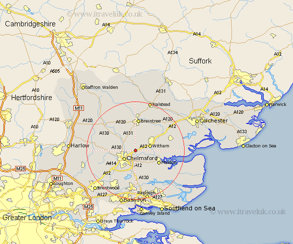
Essex Map Showing Location of Boreham
Population: 3135
Area Size (ha): 86
District: Chelmsford
Easting: 575937 Northing: 210684
Latitude: 51.77 Longitude: 0.55
 = Boreham
Area Size (ha): 86
District: Chelmsford
Easting: 575937 Northing: 210684
Latitude: 51.77 Longitude: 0.55
= Boreham
This Boreham map below is supplied by Google. Use the tools in the top left corner to zoom into street level or zoom out for a road map, you may also need to zoom in to see Boreham on the map. Click and drag the map to move around. If the map fails to load try and refresh your browser or zoom in or out (+ or -).
Update - it seems Google no longer allow people to use their maps for free! This Boreham map sometimes loads and sometimes gives a error. I am working on a solution.
Closest 30 Towns or Cities to Boreham (Population over 500)
Terling 3.7km Little Baddow 3.89km Hatfield Peverel 3.9km Broomfield 5.73km Little Waltham 5.9km Chelmsford 5.9km Great Leighs 6.01km Witham 6.02km Great Waltham 7.12km Danbury 7.51km Great Baddow 8.18km Wickham Bishops 8.24km Black Notley 9.26km Woodham Mortimer 9.38km Galleywood 9.38km Bickacre 9.55km Bicknacre 9.55km Writtle 9.77km Cressing 9.88km Heybridge 9.9km Maldon 10.73km Malden 10.73km Rivenhall 10.92km Totham 10.96km Great Totham 10.96km East Hanningfield 11.12km Rayne 11.35km Roxwell 11.62km Bradwell 12.03km Kelvedon 12.7km