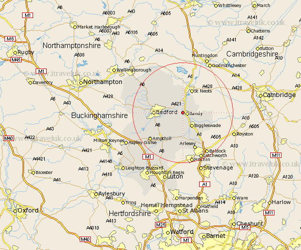
Bedfordshire Map Showing Location of Blunham
Population: 926
District: Mid Bedfordshire
Easting: 515203 Northing: 249714
Latitude: 52.13 Longitude: -0.32
 = Blunham
District: Mid Bedfordshire
Easting: 515203 Northing: 249714
Latitude: 52.13 Longitude: -0.32
= Blunham
This Blunham map below is supplied by Google. Use the tools in the top left corner to zoom into street level or zoom out for a road map, you may also need to zoom in to see Blunham on the map. Click and drag the map to move around. If the map fails to load try and refresh your browser or zoom in or out (+ or -).
Update - it seems Google no longer allow people to use their maps for free! This Blunham map sometimes loads and sometimes gives a error. I am working on a solution.
Closest 30 Towns or Cities to Blunham (Population over 500)
Sandy 1.64km Tempsford 2.18km Great Barford 2.94km Willington 3.41km Northill 3.7km Roxton 3.88km Cople 4.91km Everton 5.69km Biggleswade 6.52km Potton 8.18km Southill 9.33km Langford 9.87km Bolnhurst 10.88km Wilstead 10.88km Wilshamstead 10.88km Willshamstead 10.88km Wilhamstead 10.88km Elstow 10.89km Bedford 11.15km Clifton 11.18km Shefford 11.18km Haynes 11.51km Clapham 11.52km Cockayne Hatley 11.53km Campton and Chicksands 11.63km Thurleigh 11.73km Kempston 11.97km Biddenham 12.51km Henlow 13.16km Bromham 13.77km