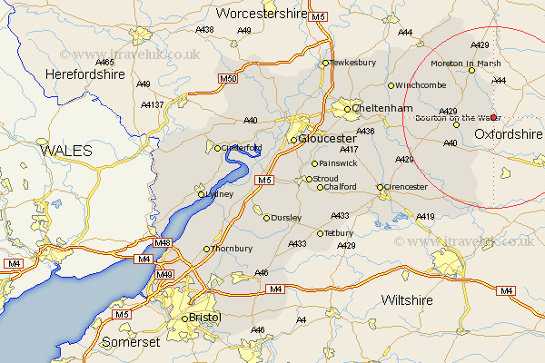
Gloucestershire Map Showing Location of Bledington
Population: 503
District: Cotswold
Easting: 425235 Northing: 220638
Latitude: 51.88 Longitude: -1.63
 = Bledington
District: Cotswold
Easting: 425235 Northing: 220638
Latitude: 51.88 Longitude: -1.63
= Bledington
This Bledington map below is supplied by Google. Use the tools in the top left corner to zoom into street level or zoom out for a road map, you may also need to zoom in to see Bledington on the map. Click and drag the map to move around. If the map fails to load try and refresh your browser or zoom in or out (+ or -).
Update - it seems Google no longer allow people to use their maps for free! This Bledington map sometimes loads and sometimes gives a error. I am working on a solution.
Closest 30 Towns or Cities to Bledington (Population over 500)
Bourton-on-the-Water 8.22km Bourton on the Water 8.22km Stow on the Wold 8.83km Stow-on-the-Wold 8.83km Moreton in Marsh 12.03km Moreton in the Marsh 12.03km Moreton-in-Marsh 12.03km Northleach 13.76km Blockley 16.85km Bibury 19.46km Chipping Campden 19.59km Ebrington 19.76km Lechlade 20.89km Quenington 21.2km Chedworth 21.56km Andoversford 21.82km Withington 22.45km Fairford 22.84km Winchcombe 22.95km Winchcomb 22.95km Mickleton 24.04km Kempsford 25.77km North Cerney 26.32km Ampney Saint Peter 26.67km Ampney St. Peter 26.67km Ampney 26.67km Ampney St Peter 26.67km Dumbleton 27.24km Alderton 27.49km Southam 29.12km