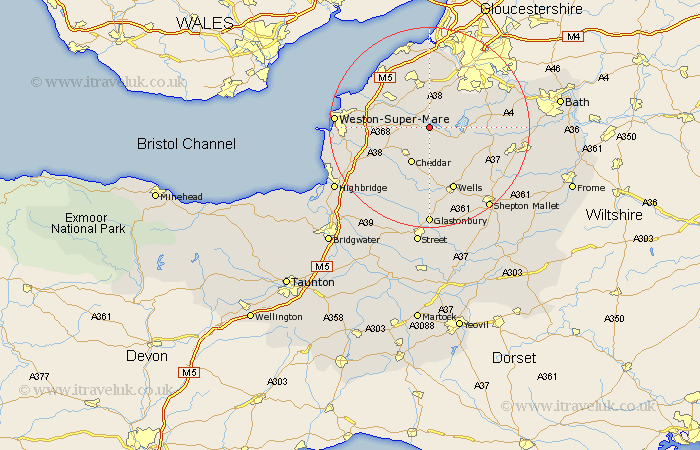
Somerset Map Showing Location of Blagdon
Population: 1172
Easting: 350077 Northing: 159655
Latitude: 51.33 Longitude: -2.72
 = Blagdon
Easting: 350077 Northing: 159655
Latitude: 51.33 Longitude: -2.72
= Blagdon
This Blagdon map below is supplied by Google. Use the tools in the top left corner to zoom into street level or zoom out for a road map, you may also need to zoom in to see Blagdon on the map. Click and drag the map to move around. If the map fails to load try and refresh your browser or zoom in or out (+ or -).
Update - it seems Google no longer allow people to use their maps for free! This Blagdon map sometimes loads and sometimes gives a error. I am working on a solution.
Closest 30 Towns or Cities to Blagdon (Population over 500)
Wrington 5.09km Churchill 5.79km Compton Martin 5.93km Chew Stoke 6.08km Shipham 6.87km East Harptree 6.87km Congresbury 6.88km Winford 7.24km Chew Magna 7.88km Great Chew 7.88km Axbridge 8.03km Sandford 8.1km Cheddar 8.18km Yatton 8.9km Rodney Stoke 9.33km Flax Bourton 9.35km Bourton 9.35km Dundry 9.41km Priddy 9.89km Banwell 10.58km Weare 10.98km Westbury 11.12km Locking 11.58km Nailsea 11.65km Chewton Mendip 11.87km Long Ashton 12.04km Clutton 12.74km Whitchurch 12.78km Temple Cloud 12.89km Wraxall 13.03km