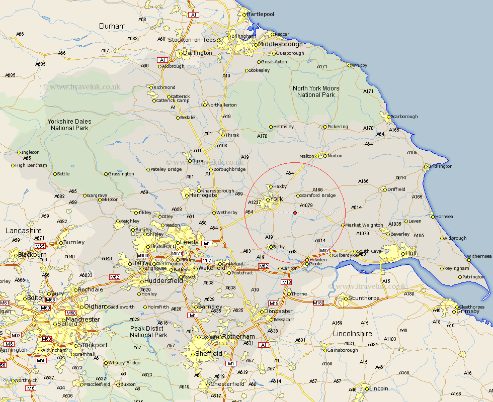
Yorkshire Map Showing Location of Elvington
Easting: 470051 Northing: 447277
Latitude: 53.92 Longitude: -0.93
 = Elvington
Latitude: 53.92 Longitude: -0.93
= Elvington
This Elvington map below is supplied by Google. Use the tools in the top left corner to zoom into street level or zoom out for a road map, you may also need to zoom in to see Elvington on the map. Click and drag the map to move around. If the map fails to load try and refresh your browser or zoom in or out (+ or -).
Update - it seems Google no longer allow people to use their maps for free! This Elvington map sometimes loads and sometimes gives a error. I am working on a solution.
Closest 30 Towns or Cities to Elvington (Population over 500)
Sutton upon Derwent 1.09km Sutton 1.09km Wheldrake 4.31km Wilberfoss 4.94km Melbourne 6.6km Stamford Bridge 7.49km Heslington 7.52km Barmby 7.86km Barmby on the Moor 7.86km Barmby-on-the-Moor 7.86km Escrick 8.5km Fangfoss 8.59km Seaton Ross 10.65km Bishopthorpe 11.07km Bishopthorne 11.07km Acaster Malbis 11.07km Bubwith 11.17km York 11.28km New Earswick 11.44km Huntington 12km Earswick 12km Riccall 12.02km Pocklington 12.14km Clifton 12.24km Copmanthorpe 13.1km Haxby 14.13km Wigginton 14.13km Holme upon Spalding Moor 14.33km Holme 14.33km Cawood 15.18km