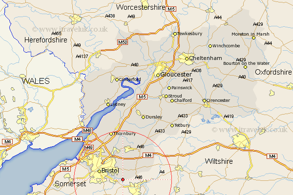
Gloucestershire Map Showing Location of Bitton
Population: 9307
Easting: 368710 Northing: 168782
Latitude: 51.42 Longitude: -2.45
 = Bitton
Easting: 368710 Northing: 168782
Latitude: 51.42 Longitude: -2.45
= Bitton
This Bitton map below is supplied by Google. Use the tools in the top left corner to zoom into street level or zoom out for a road map, you may also need to zoom in to see Bitton on the map. Click and drag the map to move around. If the map fails to load try and refresh your browser or zoom in or out (+ or -).
Update - it seems Google no longer allow people to use their maps for free! This Bitton map sometimes loads and sometimes gives a error. I am working on a solution.
Closest 30 Towns or Cities to Bitton (Population over 500)
Wick 3.88km Siston 5.56km Kingswood 6.55km Mangotsfield 7.49km Bristol 9.96km Marshfield 11.04km Westerleigh 11.18km Stoke Gifford 13.1km Frampton Cotterell 13.17km Winterbourne 13.49km Filton 13.74km Chipping Sodbury 13.76km Iron Acton 14.87km Patchway 15.28km Rangeworthy 16.68km Almondsbury 16.88km Wickwar 19.09km Pilning 19.51km Olveston 20.21km Hawkesbury 20.21km Tytherington 20.51km Thornbury 20.9km Alveston 21.18km Cromhall 22.24km Charfield 22.36km Aust 23.42km Falfield 24.09km Wotton under Edge 25.06km Wotton-under-Edge 25.06km Stone 25.97km