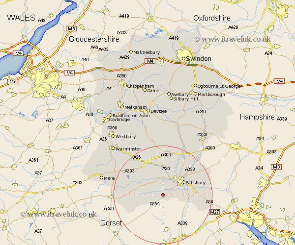
Wiltshire Map Showing Location of Bishopstone
Population: 614
District: Salisbury
Easting: 407013 Northing: 124211
Latitude: 51.02 Longitude: -1.9
 = Bishopstone
District: Salisbury
Easting: 407013 Northing: 124211
Latitude: 51.02 Longitude: -1.9
= Bishopstone
This Bishopstone map below is supplied by Google. Use the tools in the top left corner to zoom into street level or zoom out for a road map, you may also need to zoom in to see Bishopstone on the map. Click and drag the map to move around. If the map fails to load try and refresh your browser or zoom in or out (+ or -).
Update - it seems Google no longer allow people to use their maps for free! This Bishopstone map sometimes loads and sometimes gives a error. I am working on a solution.
Closest 30 Towns or Cities to Bishopstone (Population over 500)
Broad Chalke 2.33km Combebissett 3.95km Coombe Bissett 3.95km Wilton 7.76km Fovant 7.91km Odstock 8.37km Dinton 9.42km Britford 9.51km South Newton 9.55km New Sarum 9.87km Salisbury 9.87km Alderbury 11.8km Downton 11.81km Longford 13.17km Steeple Langford 13.17km Redlynch 13.36km Tisbury 13.97km Winterbourne 13.99km Winterbourne Dauntsey 13.99km Farley 15.6km Semley 17.58km Whiteparish 17.59km Winterslow 17.91km Codford 18.15km Idmiston 18.23km Shrewton 18.53km Amesbury 18.56km Hindon 18.75km Lark Hill 19.42km Bishop's Knoyle 19.46km