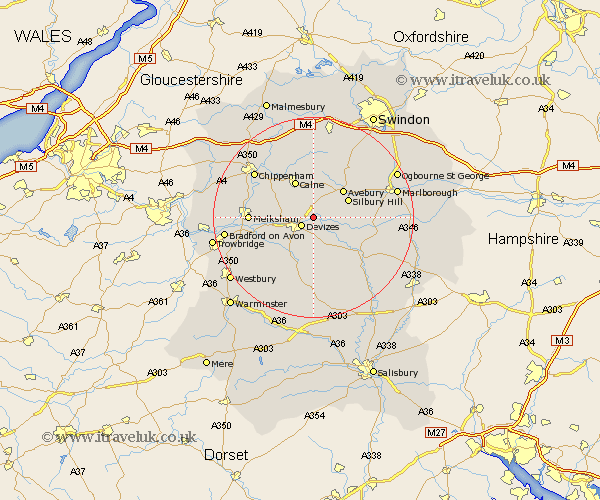
Wiltshire Map Showing Location of Bishops Cannings
Population: 1566
District: Kennet
Easting: 403480 Northing: 163127
Latitude: 51.37 Longitude: -1.95
 = Bishops Cannings
District: Kennet
Easting: 403480 Northing: 163127
Latitude: 51.37 Longitude: -1.95
= Bishops Cannings
This Bishops Cannings map below is supplied by Google. Use the tools in the top left corner to zoom into street level or zoom out for a road map, you may also need to zoom in to see Bishops Cannings on the map. Click and drag the map to move around. If the map fails to load try and refresh your browser or zoom in or out (+ or -).
Update - it seems Google no longer allow people to use their maps for free! This Bishops Cannings map sometimes loads and sometimes gives a error. I am working on a solution.
Closest 30 Towns or Cities to Bishops Cannings (Population over 500)
Roundway 2.31km Devizes 2.97km Cherhill 5.56km Rowde 6.08km Potterne 7.24km Urchfont 7.51km Calne 8.18km Seend 9.44km Lavington 9.56km Market Lavington 9.56km Worton 9.83km Bremhill 10.92km Hilmarton 11.18km Hillmarton 11.18km Laycock 12.14km Lacock 12.14km Erlestoke 12.32km Melksham 12.73km Upavon 13.11km West Lavington 13.43km Semington 14.01km Broad Town 14.19km Pewsey 14.38km Steeple Ashton 14.74km Chippenham 14.81km Edington 15.24km Broad Hinton 15.28km Bratton 16.06km Broughton Gifford 16.2km Christian Malford 16.36km