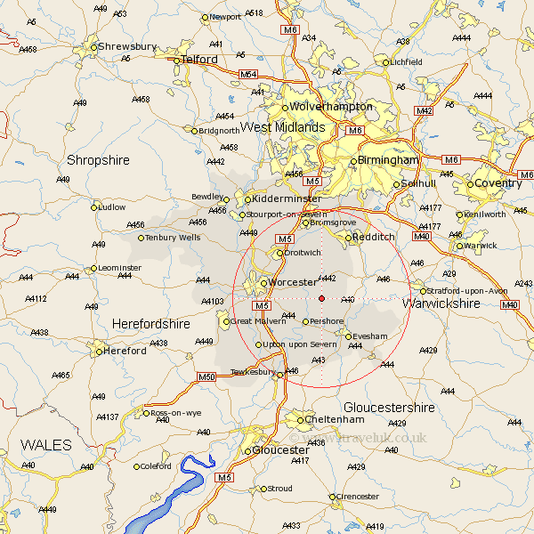
Worcestershire Map Showing Location of Bishampton
Population: 678
District: Wychavon
Easting: 398859 Northing: 252093
Latitude: 52.17 Longitude: -2.02
 = Bishampton
District: Wychavon
Easting: 398859 Northing: 252093
Latitude: 52.17 Longitude: -2.02
= Bishampton
This Bishampton map below is supplied by Google. Use the tools in the top left corner to zoom into street level or zoom out for a road map, you may also need to zoom in to see Bishampton on the map. Click and drag the map to move around. If the map fails to load try and refresh your browser or zoom in or out (+ or -).
Update - it seems Google no longer allow people to use their maps for free! This Bishampton map sometimes loads and sometimes gives a error. I am working on a solution.
Closest 30 Towns or Cities to Bishampton (Population over 500)
Church Lench 4.91km Inkberrow 5.03km Fladbury 5.56km Peopleton 5.98km Pershore 6.52km Crowle 7.76km Charlton 7.76km Harvington 7.77km Cropthorne 9.34km Feckenham 9.54km Offenham 10.08km Wadborough 10.66km Astwood Bank 10.86km Evesham 10.88km Cleeve Prior 10.89km Hanbury 11.35km Defford 11.52km Littleton 11.74km South Littleton 11.74km Badsey 12.99km Worcester 13.04km Kempsey 13.05km Eckington 13.05km Droitwich 14.36km Fernhill Heath 14.52km Ashton-under-Hill 14.88km Ashton under Hill 14.88km Stoke Prior 15.21km Sedgeberrow 15.22km Severn Stoke 15.53km