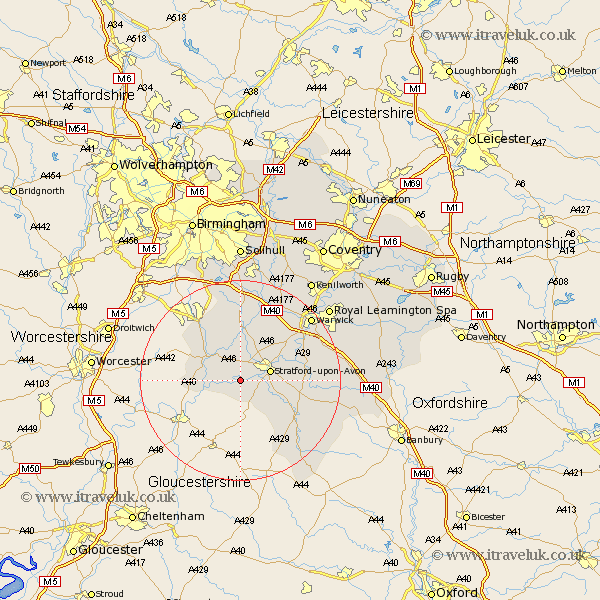
Warwickshire Map Showing Location of Binton
Population: 272
District: Stratford-on-Avon
Easting: 414817 Northing: 252115
Latitude: 52.17 Longitude: -1.78
 = Binton
District: Stratford-on-Avon
Easting: 414817 Northing: 252115
Latitude: 52.17 Longitude: -1.78
= Binton
This Binton map below is supplied by Google. Use the tools in the top left corner to zoom into street level or zoom out for a road map, you may also need to zoom in to see Binton on the map. Click and drag the map to move around. If the map fails to load try and refresh your browser or zoom in or out (+ or -).
Update - it seems Google no longer allow people to use their maps for free! This Binton map sometimes loads and sometimes gives a error. I am working on a solution.
Closest 30 Towns or Cities to Binton (Population over 500)
Stratford upon Avon 5.97km Stratford 5.97km Stratford on Avon 5.97km Stratford-on-Avon 5.97km Stratford-upon-Avon 5.97km Great Alne 6.01km Quinton 6.52km Salford Priors 7.07km Aston Cantlow 7.49km Alcester 7.95km Snitterfield 8.15km Bearley 8.15km Wootton Wawen 9.33km Ilmington 11.52km Claverdon 12.48km Henley in Arden 13.01km Studley 13.04km Eatington 13.05km Ettington 13.05km Wellesbourne Hastings 13.76km Wellesbourne 13.76km Barford 14.52km Ullenhall 14.99km Shrewley 16.82km Shipston on Stour 17.26km Shipston-on-Stour 17.26km Hatton 17.38km Rowington 17.62km Bishops Tachbrook 18.58km Lapworth 18.67km