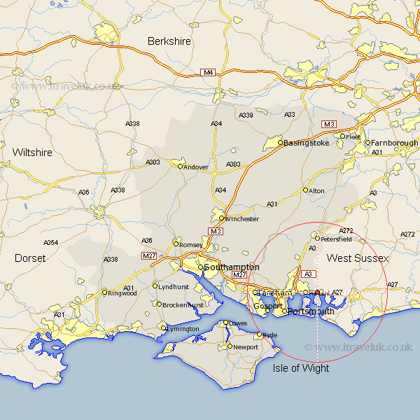
Hampshire Map Showing Location of Emsworth
Population: 17900
Area Size (ha): 540
District: Havant
Easting: 475080 Northing: 106213
Latitude: 50.85 Longitude: -0.93
 = Emsworth
Area Size (ha): 540
District: Havant
Easting: 475080 Northing: 106213
Latitude: 50.85 Longitude: -0.93
= Emsworth
This Emsworth map below is supplied by Google. Use the tools in the top left corner to zoom into street level or zoom out for a road map, you may also need to zoom in to see Emsworth on the map. Click and drag the map to move around. If the map fails to load try and refresh your browser or zoom in or out (+ or -).
Update - it seems Google no longer allow people to use their maps for free! This Emsworth map sometimes loads and sometimes gives a error. I am working on a solution.
Closest 30 Towns or Cities to Emsworth (Population over 500)
Havant 3.51km Rowlands Castle 3.88km Waterlooville 6.14km Waterloo 6.14km Horndean 8.2km Clanfield 10.38km Portsmouth 11km Hambledon 11.94km Southsea 11.95km Southwick 13km Portchester 13.01km Porchester 13.01km Buriton 13.03km Gosport 15.11km East Meon 16.4km Petersfield 16.68km Soberton 16.81km Wickham 17.29km Fareham 17.55km Droxford 17.9km Steep 18.54km Swanmore 18.81km Seaview 18.89km Shidfield 19.04km Shedfield 19.04km Corhampton 19.11km Froxfield 19.12km Lee-on-the-Solent 19.54km Lee on Solent 19.54km Lee-on-Solent 19.54km