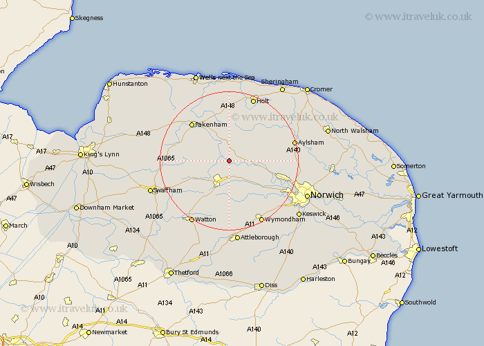
Norfolk Map Showing Location of Billingford
Population: 223
District: Breckland
Easting: 601400 Northing: 319285
Latitude: 52.73 Longitude: 0.98
 = Billingford
District: Breckland
Easting: 601400 Northing: 319285
Latitude: 52.73 Longitude: 0.98
= Billingford
This Billingford map below is supplied by Google. Use the tools in the top left corner to zoom into street level or zoom out for a road map, you may also need to zoom in to see Billingford on the map. Click and drag the map to move around. If the map fails to load try and refresh your browser or zoom in or out (+ or -).
Update - it seems Google no longer allow people to use their maps for free! This Billingford map sometimes loads and sometimes gives a error. I am working on a solution.
Closest 30 Towns or Cities to Billingford (Population over 500)
North Elmham 2.24km Bawdeswell 3.37km Beetley 4.85km Lyng 5.91km Foulsham 6km Foulham 6km East Dereham 6.5km Dereham 6.5km Mileham 8.98km Witchingham 8.98km Reepham 9.17km Hockering 9.29km Yaxham 9.33km Hindolveston 9.54km Mattishall 9.86km Ryburgh 10.3km Great Ryburgh 10.3km Colkirk 11.64km Litcham 12.48km Cawston 12.89km Melton Constable 13.41km Mellon Constable 13.41km Corpusty 13.7km Shipdham 14.13km Little Snoring 14.13km Briston 14.14km Fakenham 15.01km Taverham 15.38km Necton 16.36km Hingham 16.68km