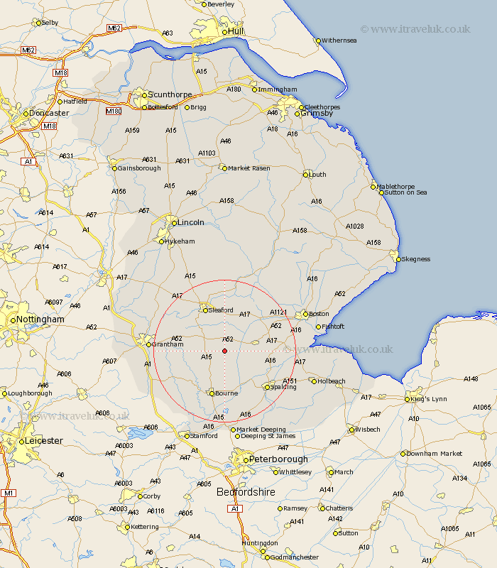
Lincolnshire Map Showing Location of Billingborough
Population: 1098
District: South Kesteven
Easting: 512136 Northing: 333096
Latitude: 52.88 Longitude: -0.33
 = Billingborough
District: South Kesteven
Easting: 512136 Northing: 333096
Latitude: 52.88 Longitude: -0.33
= Billingborough
This Billingborough map below is supplied by Google. Use the tools in the top left corner to zoom into street level or zoom out for a road map, you may also need to zoom in to see Billingborough on the map. Click and drag the map to move around. If the map fails to load try and refresh your browser or zoom in or out (+ or -).
Update - it seems Google no longer allow people to use their maps for free! This Billingborough map sometimes loads and sometimes gives a error. I am working on a solution.
Closest 30 Towns or Cities to Billingborough (Population over 500)
Pointon 3.7km Folkingham 4.84km Helpringham 5.99km Rippingale 7.74km Great Hale 8.14km Hale 8.14km Donington 9.14km Heckington 9.86km Quadring 11.34km Morton 11.34km Bicker 11.78km Ropsley 12.3km Gosberton 12.85km Sleaford 13.27km Bourn 13.39km Bourne 13.39km Swineshead 13.49km Surfleet 14.53km Corby 15.41km Pinchbeck 15.41km Spalding 15.78km Heasingham 15.85km Leasingham 15.85km Ancaster 16.3km Sutterton 16.87km Ruskington 17.01km Buskington 17.01km Thurlby 18.66km Belton 18.73km Cranwell 18.92km