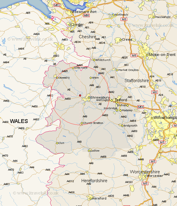
Shropshire Map Showing Location of Bicton
Population: 890
District: Shrewsbury and Atcham
Easting: 344861 Northing: 315424
Latitude: 52.73 Longitude: -2.82
 = Bicton
District: Shrewsbury and Atcham
Easting: 344861 Northing: 315424
Latitude: 52.73 Longitude: -2.82
= Bicton
This Bicton map below is supplied by Google. Use the tools in the top left corner to zoom into street level or zoom out for a road map, you may also need to zoom in to see Bicton on the map. Click and drag the map to move around. If the map fails to load try and refresh your browser or zoom in or out (+ or -).
Update - it seems Google no longer allow people to use their maps for free! This Bicton map sometimes loads and sometimes gives a error. I am working on a solution.
Closest 30 Towns or Cities to Bicton (Population over 500)
Ford 2.91km Hanwood 5.56km Great Hanwood 5.56km Shrewsbury 5.91km Baschurch 6.5km Great Ness 6.73km Hadnall 7.69km Baystonhill 8.66km Alberbury 9.17km Pontesbury 10.29km Condover 10.3km Westbury 10.56km Berrington 12.15km Kinnerley 12.52km Shawbury 12.52km Cockshut 13.17km Cockshutt 13.17km Rodington 13.47km Minsterley 13.62km West Felton 14.55km Stanton upon Hine Heath 14.55km Stanton 14.55km Wem 14.62km Ercall Magna 14.7km High Ercall 14.7km Loppington 15km Wrockwardine 17.24km Cressage 17.48km Pant 17.72km Welshampton 18.67km