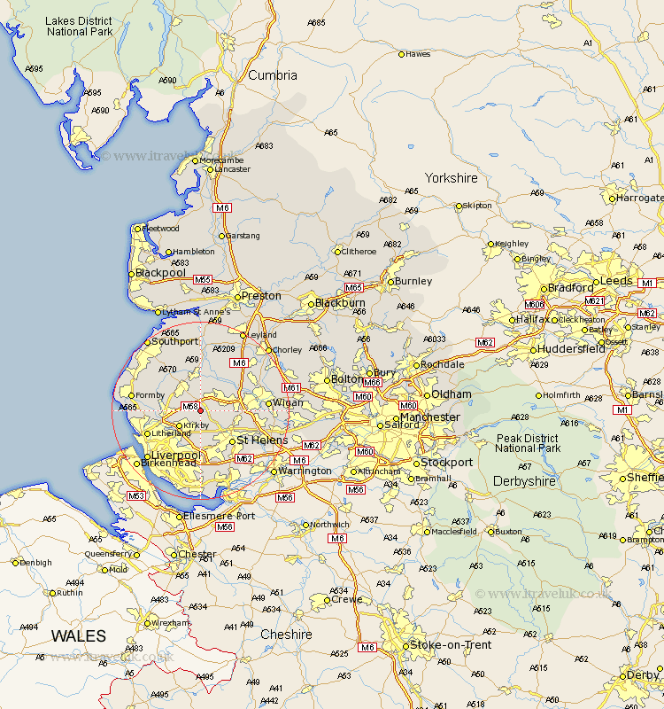
Lancashire Map Showing Location of Bickerstaffe
Population: 1196
District: West Lancashire
Easting: 344750 Northing: 402575
Latitude: 53.52 Longitude: -2.83
 = Bickerstaffe
District: West Lancashire
Easting: 344750 Northing: 402575
Latitude: 53.52 Longitude: -2.83
= Bickerstaffe
This Bickerstaffe map below is supplied by Google. Use the tools in the top left corner to zoom into street level or zoom out for a road map, you may also need to zoom in to see Bickerstaffe on the map. Click and drag the map to move around. If the map fails to load try and refresh your browser or zoom in or out (+ or -).
Update - it seems Google no longer allow people to use their maps for free! This Bickerstaffe map sometimes loads and sometimes gives a error. I am working on a solution.
Closest 30 Towns or Cities to Bickerstaffe (Population over 500)
Rainford 2.2km Skelmersdale 2.87km Lathom 5.67km Kirkby 5.77km Aughton 5.81km Melling 6.65km Ormskirk 7.09km Burscough 7.41km Knowsley 7.5km Maghull 7.71km Eccleston 8.12km Parbold 8.62km Aintree 8.64km Lydiate 8.82km Sefton 9.01km Billinge 9.01km Appley Bridge 9.5km St Helens 9.94km St. Helens 9.94km Saint Helens 9.94km Halsall 10.69km Rufford 11.12km Thornton 11.18km Prescott 11.34km Prescot 11.34km Shevington 11.36km Scarisbrick 11.38km Mawdesley 11.96km Ince Blundell 12.12km Haydock 12.35km